Related Research Articles

The Cree, or nehinaw, are a North American Indigenous people, numbering more than 350,000 in Canada, where they form one of the country's largest First Nations. They live primarily to the north and west of Lake Superior in the provinces of Alberta, Labrador, Manitoba, the Northwest Territories, Ontario, and Saskatchewan. Another roughly 27,000 live in Quebec.

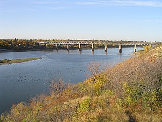
The Saskatchewan River is a major river in Canada. It stretches about 550 kilometres (340 mi) from where it is formed by the joining of the North Saskatchewan River and South Saskatchewan River just east of Prince Albert, Saskatchewan. It flows roughly eastward across Saskatchewan and Manitoba to empty into Lake Winnipeg. Through its tributaries the North Saskatchewan and South Saskatchewan, its watershed encompasses much of the prairie regions of Canada, stretching westward to the Rocky Mountains in Alberta and north-western Montana in the United States.

Lake Athabasca is in the north-west corner of Saskatchewan and the north-east corner of Alberta between 58° and 60° N in Canada. The lake is about 30% in Alberta and 70% in Saskatchewan.

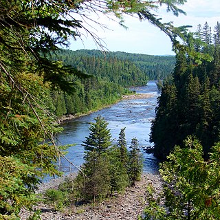
The Kaministiquia River is a river which flows into western Lake Superior at the city of Thunder Bay, Ontario. Kaministiquia is an Ojibwe word meaning "where a stream flows in island" due to two large islands at the mouth of the river. The delta has three branches or outlets, reflected on early North American maps in French as "les trois rivières" : the southernmost is known as the Mission River, the central branch as the McKellar River, and the northernmost branch as the Kaministiquia. Residents of the region commonly refer to the river as the Kam River.

Kenora District is a district and census division in Northwestern Ontario, Canada. The district seat is the City of Kenora.

Winnipeg River is a Canadian river that flows roughly northwest from Lake of the Woods in the province of Ontario to Lake Winnipeg in Manitoba. This river is 235 kilometres (146 mi) long from the Norman Dam in Kenora to its mouth at Lake Winnipeg. Its watershed is 106,500 square kilometres (41,100 sq mi) in area, mainly in Canada. About 29,000 square kilometres (11,000 sq mi) of the watershed is in northern Minnesota, United States.

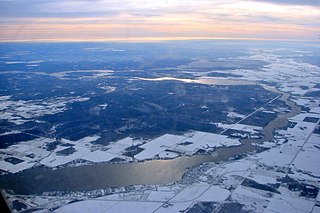
Lake Nipigon is a freshwater lake in Northwestern Ontario. Part of part of the Great Lakes drainage basin, it drains through the Nipigon River into Lake Superior. It is the largest lake entirely within the Canadian province of Ontario.

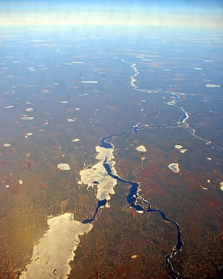
The Albany River is a river in Northern Ontario, Canada, which flows northeast from Lake St. Joseph in Northwestern Ontario and empties into James Bay. It is 982 kilometres (610 mi) long to the head of the Cat River, tying it with the Severn River for the title of longest river entirely in Ontario. Major tributaries include the Kenogami River and Ogoki River.
First Nations in Ontario constitute many nations. Common First Nations ethnicities in the province include the Anishinaabe, Haudenosaunee, and the Cree. In southern portions of this province, there are reserves of the Mohawk, Cayuga, Onondaga, Oneida, Seneca and Tuscarora.
The Methye Portage or Portage La Loche in northwestern Saskatchewan was one of the most important portages in the old fur trade route across Canada. The 19 km (12 mi) portage connected the Mackenzie River basin to rivers that ran east to the Atlantic. It was reached by Peter Pond in 1778 and abandoned in 1883 when steamboats began running on the Athabasca River with links to the railroad. It ranks with Grand Portage as one of the two most important and difficult portages used during the fur trade era.
Lac la Nonne is a lake in northern Alberta, Canada. It is located between Lac Ste. Anne County and the County of Barrhead No. 11, 85 km north-west from Edmonton, east of the Grizzly Trail.

The Fort McKay First Nation (FMFN) is a First Nations government in northeast Alberta comprising five Indian reserves – Fort McKay 174, Fort McKay 174C, Fort McKay 174D, Namur Lake 174B and Namur River 174A. The FMFN, signed to Treaty 8, is affiliated with the Athabasca Tribal Council and its members are of Cree, Metis and Dene heritage. The FMFN's traditional lands include portions of the Athabasca oil sands.

The York Factory Express, usually called "the Express" and also the Columbia Express and the Communication, was a 19th-century fur brigade operated by the Hudson's Bay Company (HBC). Roughly 4,200 kilometres (2,600 mi) in length, it was the main overland connection between HBC headquarters at York Factory and the principal depot of the Columbia Department, Fort Vancouver.

Frog Portage or Portage du Traite was one of the most important portages on the voyageur route from Eastern Canada to the Mackenzie River basin. It allowed boatmen to move from the Saskatchewan River basin to the Churchill River basin. The Churchill then led west to the Mackenzie River basin. The fur trade route ran from Cumberland House, Saskatchewan north up the Sturgeon-Weir River. At its source the 300-yard Frog Portage ran, with a 20-foot drop, to Trade Lake on the Churchill a few miles west of the mouth of Reindeer River. The route then ran at least 250 miles northwest up the Churchill to Methye Portage which led to the Mackenzie basin.

The Central Canadian Shield forests are a taiga ecoregion of Eastern Canada, as defined by the World Wildlife Fund (WWF) categorization system.

This article covers the water based Canadian canoe routes used by early explorers of Canada with special emphasis on the fur trade.

Revillon Frères was a French fur and luxury goods company, founded in Paris in 1723. Then called la Maison Givelet, it was purchased by Louis-Victor Revillon in 1839 and soon, as Revillon Frères, became the largest fur company in France. Branches were opened in London in 1869 and in New York in 1878. At the end of the 19th century, Revillon had stores in Paris, London, New York City, and Montreal.

Saskatchewan River fur trade The Saskatchewan River was one of the two main axes of Canadian expansion west of Lake Winnipeg. The other and more important one was northwest to the Athabasca Country. For background see Canadian canoe routes (early). The main trade route followed the North Saskatchewan River and Saskatchewan River, which were just south of the forested beaver country. The South Saskatchewan River was a prairie river with few furs.
Fur trading on the Assiniboine River and the general area west of Lake Winnipeg, in what is now Manitoba, Canada, began as early as 1731.
References
- ↑ HBCA Post Records by Name Hudson's Bay Company Archives
- ↑ "Anderson River". The Canadian Encyclopedia. Retrieved 24 January 2008.