
Warwick is a town and locality in southeast Queensland, Australia, lying 130 kilometres (81 mi) south-west of Brisbane. It is the administrative centre of the Southern Downs Region local government area. The surrounding Darling Downs have fostered a strong agricultural industry for which Warwick, together with the larger city of Toowoomba, serve as convenient service centres. The town had an urban population of 15,380 as at June 2018, having declined slightly at an average annual rate of -0.15% year-on-year over the preceding five years.
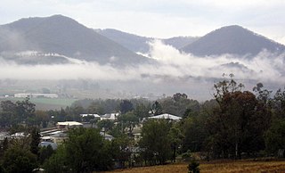
Killarney is a rural town and locality in the Southern Downs Region, Queensland, Australia. It borders New South Wales. In the 2016 census, the locality of Killarney had a population of 954 people.

Allora is a rural town and locality in the Southern Downs Region, Queensland, Australia. In the 2016 census, the locality of Allora had a population of 1,223 people.

Maryvale is a rural town and locality in the Southern Downs Region, Queensland, Australia. In the 2016 census, the locality of Maryvale had a population of 303 people.
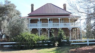
Swan Creek is a rural locality in the Southern Downs Region, Queensland, Australia. In the 2016 census, Swan Creek had a population of 139 people.
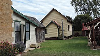
Willowvale is a rural locality in the Southern Downs Region, Queensland, Australia. In the 2016 census Willowvale had a population of 94 people.

Pratten is a rural town and locality in the Southern Downs Region, Queensland, Australia. In the 2016 census, Pratten had a population of 205 people.
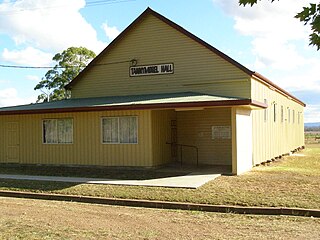
Tannymorel is a rural town and locality in the Southern Downs Region, Queensland, Australia. In the 2016 census, the locality of Tannymorel had a population of 161 people.

Mount Marshall is a rural locality in the Southern Downs Region, Queensland, Australia. In the 2016 census, Mount Marshall had a population of 243 people.

Spring Creek is a rural locality split between the Toowoomba Region and the Southern Downs Region, Queensland, Australia. In the 2016 census, Spring Creek had a population of 194 people.
Murrays Bridge is a rural locality in the Southern Downs Region, Queensland, Australia. In the 2016 census Murrays Bridge had a population of 103 people.
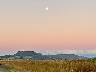
Clintonvale is a rural locality in the Southern Downs Region, Queensland, Australia. In the 2016 census, Clintonvale had a population of 74 people.
Danderoo is a rural locality in the Southern Downs Region, Queensland, Australia. In the 2016 census, Danderoo had a population of 30 people.
Elbow Valley is a rural locality in the Southern Downs Region, Queensland, Australia. In the 2016 census It is on the border of New South Wales. Elbow Valley had a population of 95 people.

Emu Vale is a rural town and locality in the Southern Downs Region, Queensland, Australia. In the 2016 census, Emu Vale had a population of 185 people.

Upper Freestone is a rural locality in the Southern Downs Region, Queensland, Australia. In the 2016 census, Upper Freestone had a population of 90 people.

Thane is a rural town and locality in the Southern Downs Region, Queensland, Australia. In the 2016 census, Thane had a population of 27 people.
The Falls is a rural locality in the Southern Downs Region, Queensland, Australia. In the 2016 census The Falls had a population of 70 people.

Junabee is a rural locality in the Southern Downs Region, Queensland, Australia. In the 2016 census, Junabee had a population of 213 people.
Mount Tabor is a rural locality in the Southern Downs Region, Queensland, Australia. In the 2016 census, Mount Tabor had a population of 76 people.


