This article has multiple issues. Please help improve it or discuss these issues on the talk page . (Learn how and when to remove these messages)
|

An underground city is a series of linked subterranean spaces that may provide a defensive refuge; a place for living, working or shopping; a transit system; mausolea; wine or storage cellars; cisterns or drainage channels; or several of these. Underground cities may be currently active modern creations or they may be historic including ancient sites, some of which may be entirely or partially open to the public.
Contents
- Asia
- China
- Hong Kong
- Iran
- Japan
- Singapore
- South Korea
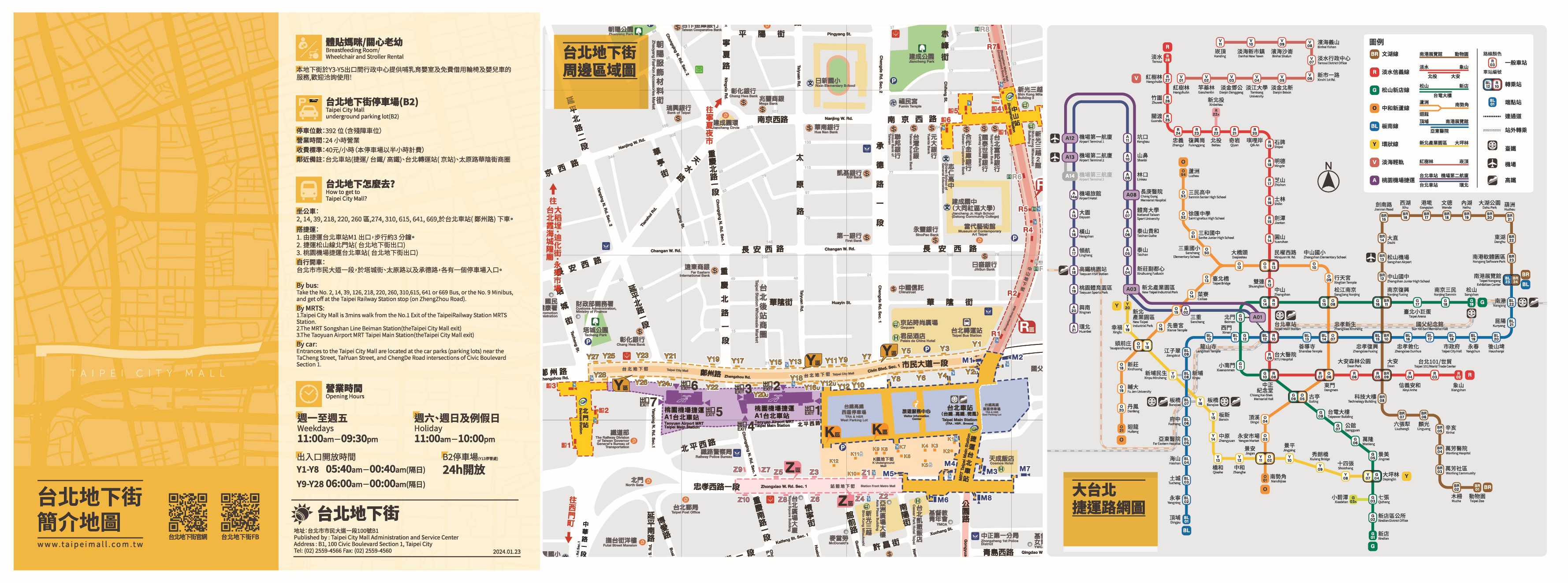
- Taiwan
- Turkey
- Australia
- Europe
- Bosnia and Herzegovina
- Croatia
- Czechia
- Finland
- France
- Germany
- Greece
- Hungary
- Italy
- Netherlands
- Poland
- Russia
- Spain
- Sweden
- Switzerland
- Ukraine
- United Kingdom
- North America
- Canada
- United States
- Mexico
- South America
- Argentina
- Chile
- See also
- References
The term may also refer to a network of tunnels that connects buildings beneath street level that may house office blocks, shopping centres, metro stations, theatres, and other attractions. These passages can usually be accessed through the public space of any of the buildings connecting to them, and sometimes have separate entries as well. This latter definition encompasses many modern structures, whereas the former more generally covers tunnel systems from ancient times to the present day.
Underground cities are especially functional in cities with very cold or hot climates, because they permit activities to be comfortably accessible year round without regard to the weather. Underground cities are similar in nature to skyway systems and may include some buildings linked by skyways or above-ground corridors rather than underground. Some cities also have tunnels that have been abandoned. [1] [2] [3]


