
The ten provinces of Zambia are divided into a total of 116 districts as of 2018.

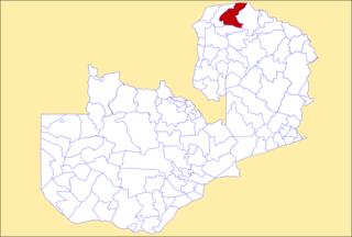
The Sinda District is a district of Zambia, located in the Eastern Province. It was created in 2012 by taking part of Petauke District and part of Katete District. It consists of two constituencies, namely Sinda and Kapoche. As of the 2022 Zambian Census, the district had a population of 161,595 people.

Limulunga District is a district of Zambia, located in Western Province. The seat of the district is Limulunga. It was made independent from Mongu District in 2012. As of the 2022 Zambian Census, the district had a population of 61,102 people.
Luampa District is a district of Zambia, located in Western Province. It was separated from Kaoma District in 2012. As of the 2022 Zambian Census, the district had a population of 61,023 people.
Mulobezi District is a district of Zambia, located in Western Province. It was separated from Sesheke District in 2013. As of the 2022 Zambian Census, the district had a population of 45,326 people.
Mwandi District is a district of Zambia, located in Western Province. The capital lies at Mwandi. It was separated from Sesheke District in 2012. As of the 2022 Zambian Census, the district had a population of 40,418 people.

Sikongo District is a district of Zambia, located in Western Province. It was separated from Kalabo District in 2012. As of the 2022 Zambian Census, the district had a population of 59,670 people.

Chisamba District is a district of Central Province, Zambia. It covers a total surface area of 5,204.5 sq km and is known for its agricultural activities with over 32,000 small scale farming families and 256 commercial farmers, the majority of whom are white Zambians. It shares borders with Lusaka, Chongwe, Chibombo, Kabwe, Kapiri Mposhi and Luano Districts. As of the 2022 Zambian Census, the district had a population of 160,828 people.

Luano District is a district of Central Province, Zambia. It was separated from Mkushi District in 2012. As of the 2022 Zambian Census, the district had a population of 66,679 people.

Ngabwe District is a district of Central Province, Zambia. It was separated from Kapiri Mposhi District in 2012. As of the 2022 Zambian Census, the district had a population of 42,104 people.
Mwansabombwe District is a district of Luapula Province, Zambia. The seat of the district is Mwansabombwe. It was separated from Kawambwa District in 2012. As of the 2022 Zambian Census, the district had a population of 58,919 people.

Chilanga District is a district of Lusaka Province, Zambia. The capital of the district is Chilanga. It was separated from Kafue District in 2012. As of the 2022 Zambian Census, the district had a population of 225,276 people.

Chirundu District is a district of Southern Province, Zambia. Its headquarters is Chirundu. It was separated from Siavonga District by President Michael Sata in 2012. As of the 2022 Zambian Census, the district had a population of 78,780 people.

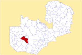
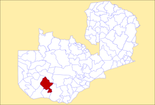
Shibuyunji District, also known as Sibuyunji District, is a district of Central Province, Zambia. As of the 2022 Zambian Census, the district had a population of 91,616 people.

Shiwang'andu District is a district of Muchinga Province, Zambia. It was created in February 2013 by splitting Chinsali District. It is named after Lake Ishiba Ng'andu and the district also contains the Shiwa Ngandu Estate. As of the 2022 Zambian Census, the district had a population of 78,509 people.
Nsama District is a district of Northern Province, Zambia. It was created in February 2012 by splitting Kaputa District. As of the 2022 Zambian Census, the district had a population of 77,651 people.

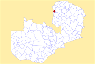
Ikelenge District is a district of North-Western Province, Zambia. It was separated from Mwinilunga District in 2011. As of the 2022 Zambian Census, the district had a population of 44,775 people.

Manyinga District is a district of North-Western Province, Zambia. It was separated from Kabompo District in 2012. As of the 2022 Zambian Census, the district had a population of 75,030 people.

Pemba District is a district of Southern Province, Zambia. The district capital is Pemba. It was separated from Choma District in 2012. As of the 2022 Zambian Census, the district had a population of 101,021 people.

Nkeyema District is a district of Western Province, Zambia. It was separated from Kaoma District in 2012. As of the 2022 Zambian Census, the district had a population of 106,074 people.
