Solwezi is a town in Zambia. It is the provincial capital of the mineral-rich North-Western Province. Solwezi is also the administrative capital of Solwezi District, one of the eleven districts in the North-Western Province.

Chingola is a town in Zambia's Copperbelt Province, the country's copper-mining region, with a population of 256,560. It is the home of Nchanga Copper Mine, a deep-shaft high-grade content copper mining operation, which subsequently led to the development of two open pit operations, Chingola Open Pit and then Nchanga Open Pit.

Copperbelt Province is a province in Zambia which covers the mineral-rich Copperbelt, and farming and bush areas to the south. It was the backbone of the Northern Rhodesian economy during British colonial rule and fuelled the hopes of the immediate post-independence period, but its economic importance was severely damaged by a crash in global copper prices in 1973. The province adjoins the Haut-Katanga province of the Democratic Republic of the Congo, which is similarly mineral-rich.

Kapiri Mposhi is a Zambian town and the seat of the Kapiri Mposhi District in Central Province. Located north of Lusaka, it stands on the Great North Road and is significant for the railway connection between the Zambia Railways line from Kitwe to Lusaka and the western terminus of the Tanzania-Zambia Railway Authority from Dar es Salaam since 1976.
Chililabombwe is a small town in Copperbelt Province, Zambia. It is located near the Democratic Republic of the Congo border. The name Chililabombwe means 'place of the croaking frog' in the local language of Lamba. The town has a population of 87 000 based on census data from 2010, making it one of the largest towns in the Copperbelt. The town is on the T3 road, 26 km north of the neighbouring town of Chingola, and approximately 10 km south of the large border market of Kasumbalesa. It has also produced national heroes like the late soccer star Eston Mulenga and many others.

Mongu District is a district of Zambia with headquarters at Mongu. As of the 2000 Zambian Census, the district had a population of 162,002 people. More than a quarter of whom live in Mongu town; the remainder live on the floodplain or its edge. East of the Lui River, the population is very low due to the absence of surface water in the dry season.

Mansa District with headquarters at Mansa is a district located in Luapula Province. As of the 2000 Zambian Census, the district had a population of 179,749 people. It consists of two constituencies, namely Mansa Central and Bahati.

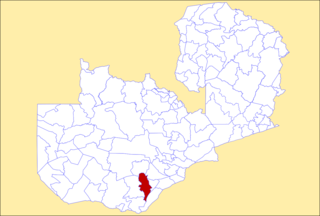
Mumbwa District is a district of Zambia, located in Central Province. The capital lies at Mumbwa. As of the 2022 Zambian Census, the district had a population of 332,237 people. It consists of two constituencies, being Mumbwa and Nangoma.
Serenje District is a district of Zambia, located in Central Province. The capital lies at Serenje. As of the 2022 Zambian Census, the district had a population of 158,192 people. It consists of two constituencies, namely Serenje and Muchinga. The district contains Lake Lusiwasi.

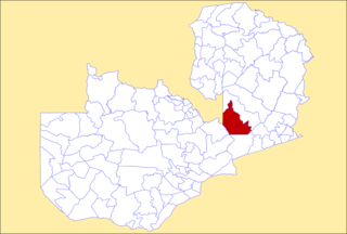
Kitwe District is a district of Zambia, located in Copperbelt Province. The capital is Kitwe. As of the 2022 Zambian Census, the district had a population of 661,901 people.
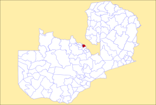
Mufulira District is a district of Zambia, located in Copperbelt Province. The capital lies at Mufulira. As of the 2022 Zambian Census, the district had a population of 200,182 people. It is divided into three constituencies, namely Mufulira, Kantanshi and Kankoyo.

Solwezi District is a district of Zambia, located in North-Western Province. The capital lies at Solwezi. As of the 2022 Zambian Census, the district had a population of 332,623 people.

Zambezi District is a district of Zambia, located in North-Western Province. The capital lies at Zambezi. As of the 2022 Zambian Census, the district had a population of 108,220 people. It consists of two constituencies, namely Zambezi West and Zambezi East.
Choma District is a district of Zambia, located in Southern Province. The capital lies at Choma. As of the 2022 Zambian Census, the district had a population of 266,916 people. Choma has been the provincial capital of the Southern Province since 2012.

Chipata District is a district of Zambia, located in Eastern Province. The capital lies at Chipata. As of the 2010 Zambian Census, the district had a population of 455,783 people.

Lundazi District is a district of Zambia, located in Eastern Province. The capital lies at Lundazi. As of the 2000 Zambian Census, the district had a population of 236,833 people. In 2018, Lundazi district was divided into 3 districts by the Government of the Republic of Zambia to enable rural development. The majority of the ethnic group is Tumbuka (99.9%).

Kawambwa District is a district of Zambia, located in Luapula Province. The capital lies at Kawambwa, which lies at the intersection of three roads: D19, M13, and Kawambwa-Mbereshi. The Luapula River forms its boundary with the Democratic Republic of the Congo. As of the 2000 Zambian Census, the district had a population of 102,503 people. It consists of two constituencies, namely Kawambwa and Pambashe.

Kaputa District is a district of Zambia, located in Northern Province. The capital lies at Kaputa. As of the 2000 Zambian Census, the district had a population of 87,233 people.

Hwange District is an administrative district in northwestern Zimbabwe, in southern Africa.

Chingola is a constituency of the National Assembly of Zambia. It covers the southern and western parts of Chingola and a rural area to the south-west of the city, including the town of Kashamata in Chingola District of Copperbelt Province.
