
Western Province is one of the 10 provinces in Zambia and encompasses most of the area formerly known as Barotseland. The capital is Mongu, and together with the neighbouring town of Limulunga, Mongu is treated as the capital of Barotseland.
Mongu is the capital of Western Province in Zambia and was the capital of the formerly-named province and historic state of Barotseland. Its population is 179,585, and it is also the headquarters of Mongu District. Mongu is the home of the Litunga, King of the Lozi people.

Kalabo is an urban centre and the seat of Kalabo District, in the Western Province of Zambia.

Shangombo District with headquarters at Shangombo is located in Zambia. As of the 2022 Zambian Census, the district had a population of 73,822 people.

Mansa District with headquarters at Mansa is a district located in Luapula Province. As of the 2022 Zambian Census, the district had a population of 327,063 people. It consists of two constituencies, namely Mansa Central and Bahati.

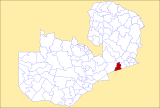
Kalabo District is a district of Zambia, located in Western Province. The capital lies at Kalabo. As of the 2022 Zambian Census, the district had a population of 111,769 people. The district contains the Liuwa Plain National Park.

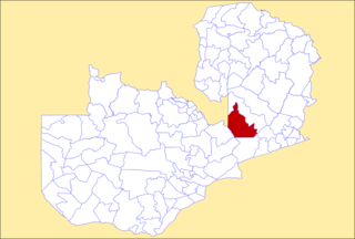
Lukulu District is a district of Zambia, located in Western Province. The capital lies at Lukulu. As of the 2022 Zambian Census, the district had a population of 96,290 people.

Kabwe District is a district of Zambia, located in Central Province. The capital lies at Kabwe. As of the 2010 Zambian Census, the district had a population of 299,206 people. It consists of two constituencies, namely Kabwe Central and Bwacha.

Mumbwa District is a district of Zambia, located in Central Province. The capital lies at Mumbwa. As of the 2022 Zambian Census, the district had a population of 332,237 people. It consists of two constituencies, being Mumbwa and Nangoma.
Serenje District is a district of Zambia, located in Central Province. The capital lies at Serenje. As of the 2022 Zambian Census, the district had a population of 158,192 people. It consists of two constituencies, namely Serenje and Muchinga. The district contains Lake Lusiwasi.

Chingola District is a district of Zambia, located in Copperbelt Province. The capital lies at Chingola. As of the 2022 Zambian Census, the district had a population of 299,936 people. It is divided into two constituencies, namely Chingola constituency and Nchanga constituency.
Mufulira District is a district of Zambia, located in Copperbelt Province. The capital lies at Mufulira. As of the 2022 Zambian Census, the district had a population of 200,182 people. It is divided into three constituencies, namely Mufulira, Kantanshi and Kankoyo.

Lusaka District is a district of Zambia, located in Lusaka Province. The capital lies at Lusaka. As of the 2022 Zambian Census, the district had a population of 2,204,059 people.

Zambezi District is a district of Zambia, located in North-Western Province. The capital lies at Zambezi. As of the 2022 Zambian Census, the district had a population of 108,220 people. It consists of two constituencies, namely Zambezi West and Zambezi East.
Choma District is a district of Zambia, located in Southern Province. The capital lies at Choma. As of the 2022 Zambian Census, the district had a population of 266,916 people. Choma has been the provincial capital of the Southern Province since 2012.

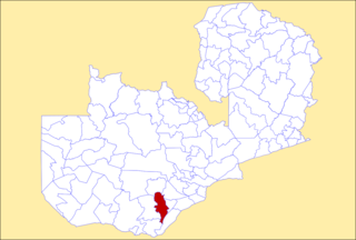
Kalomo District is a district of Zambia, located in Southern Province. The capital lies at Kalomo. As of the 2022 Zambian census, the district had a population of 274,640 people.

Chipata District is a district of Zambia, located in Eastern Province. The capital lies at Chipata. As of the 2022 Zambian Census, the district had a population of 327,059 people.
Petauke District is a district of Zambia, located in Eastern Province. The capital lies at Petauke. As of the 2022 Zambian Census, the district had a population of 259,385 people. It consists of two constituencies, namely Petauke Central and Kaumbwe.

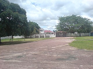
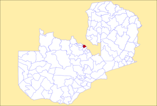
Limulunga District is a district of Zambia, located in Western Province. The seat of the district is Limulunga. It was made independent from Mongu District in 2012.

Mongu Central is a constituency of the National Assembly of Zambia. It covers part of Mongu District in Western Province.
