Western Province is one of the 10 provinces in Zambia and encompasses most of the area formerly known as Barotseland. The capital is Mongu, and together with the neighbouring town of Limulunga, Mongu is treated as the capital of Barotseland.

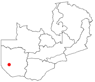
Senanga is the capital of the Senanga District, which is located in the Western Province of Zambia. The town is situated on the eastern bank of the Zambezi River, at the southern end of the Barotse Floodplain. It lies on the main road running parallel to the river from Livingstone and Sesheke to Mongu. Recently the Kaunga Lyeti Bridge was completed to cross the Kaunga Lyeti River near the junction to Sioma, traveling from Sesheke and Katima Mulilo. On top of the bridgework, recent road projects have improved travel conditions and inspired economic confidence and growth.

Eastern Province is one of Zambia's ten provinces. The province lies between the Luangwa River and borders with Malawi to the east and Mozambique to the south, from Isoka in the northeast to the north of Luangwa in the south. The provincial capital is Chipata. Eastern province has an area of 51,476 km2 (19,875 sq mi), locally shares border with three other provinces of the country and is divided into fifteen districts.

The ten provinces of Zambia are divided into a total of 116 districts as of 2018.

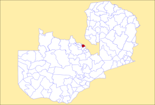
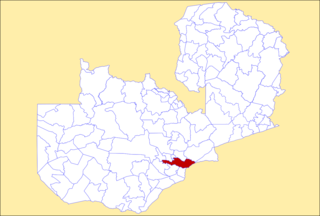
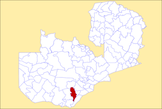
Chama District with the headquarters at Chama is the largest district of the Eastern Province in Zambia and includes a large wilderness in the Upper Luangwa valley just north-east of the North Luangwa National Park. It is made up of two constituencies, namely Chama North and Chama South.

Mongu District is a district of Zambia with headquarters at Mongu. As of the 2022 Zambian Census, the district had a population of 197,816 people. More than a quarter of whom live in Mongu town; the remainder live on the floodplain or its edge.

Shangombo District with headquarters at Shangombo is located in Zambia. As of the 2022 Zambian Census, the district had a population of 73,822 people.

Lukulu District is a district of Zambia, located in Western Province. The capital lies at Lukulu. As of the 2022 Zambian Census, the district had a population of 96,290 people.

Sesheke District is one of the sixteen (16) districts in Western Province of Zambia. The capital lies at Sesheke. As of the 2022 Zambian Census, the district had a population of 72,655 people. It contains part of Sioma Ngwezi National Park and contains part of the Zambezi River, which forms part of Zambia's border with Namibia.

Kitwe District is a district of Zambia, located in Copperbelt Province. The capital is Kitwe. As of the 2022 Zambian Census, the district had a population of 661,901 people.

Mufulira District is a district of Zambia, located in Copperbelt Province. The capital lies at Mufulira. As of the 2022 Zambian Census, the district had a population of 200,182 people. It is divided into three constituencies, namely Mufulira, Kantanshi and Kankoyo.

Chongwe District is a district of Zambia, located in Lusaka Province. The capital lies at Chongwe. As of the 2022 Zambian Census, the district had a population of 313,389 people.

Kafue District is a district of Zambia, located in Lusaka Province. The capital lies at Kafue. As of the 2022 Zambian Census, the district had a population of 219,574 people.

Kabompo District is a district of Zambia, located in North-Western Province. The capital lies at Kabompo. As of the 2022 Zambian Census, the district had a population of 65,760 people.

Choma District is a district of Zambia, located in Southern Province. The capital lies at Choma. As of the 2022 Zambian Census, the district had a population of 266,916 people. Choma has been the provincial capital of the Southern Province since 2012.

Monze District is a district of Zambia, located in Southern Province. The capital lies at Monze. As of the 2022 Zambian Census, the district had a population of 268,432 people.

Siavonga District is a district of Zambia, located in Southern Province. The capital lies at Siavonga. As of the 2022 Zambian Census, the district had a population of 66,030 people. It is separated from Zimbabwe by Lake Kariba.

Nalolo District is a district of Zambia, located in Western Province. It was separated from Senanga District in 2012.

Senanga is a constituency of the National Assembly of Zambia. It covers Senanga and surrounding areas in Senanga District of Western Province.


