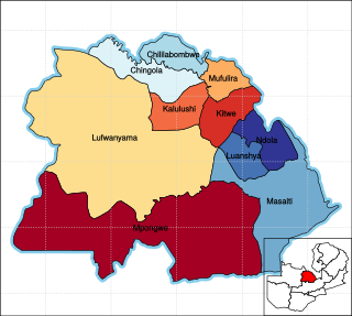
Copperbelt Province is a province in Zambia which covers the mineral-rich Copperbelt, and farming and bush areas to the south. It was the backbone of the Northern Rhodesian economy during British colonial rule and fuelled the hopes of the immediate post-independence period, but its economic importance was severely damaged by a crash in global copper prices in 1973. The province adjoins the Haut-Katanga province of the Democratic Republic of the Congo, which is similarly mineral-rich.

Western Province is one of the 10 provinces in Zambia and encompasses most of the area formerly known as Barotseland. The capital is Mongu, and together with the neighbouring town of Limulunga, Mongu is treated as the capital of Barotseland.
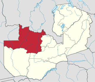
North-Western Province is one of ten Provinces of Zambia. It covers an area of 125,826 km2 (48,582 sq mi), has a population of 1,278,357 and a population density of 20 per square kilometre as of 2021. It is the most sparsely populated province in the country. The provincial capital is Solwezi. The literacy rate stood at 63 per cent in 2010 against a national average of 70.2 per cent. The rural population constituted 77.45%, while the urban population was 22.55%. North-Western Province is bordered along Angola in the west, the Democratic Republic of Congo in the north, Copperbelt Province in the east, Central in the south-east, and Western Province in the south-west.

Mansa District with headquarters at Mansa is a district located in Luapula Province. As of the 2022 Zambian Census, the district had a population of 327,063 people. It consists of two constituencies, namely Mansa Central and Bahati.

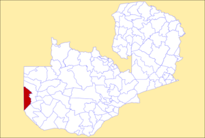
Kalabo District is a district of Zambia, located in Western Province. The capital lies at Kalabo. As of the 2022 Zambian Census, the district had a population of 111,769 people. The district contains the Liuwa Plain National Park.

Mkushi District is a district of Zambia, located in Central Province. The capital lies at Mkushi. As of the 2022 Zambian Census, the district had a population of 208,635 people. The Great North Road and TAZARA railway run through Mkushi district, connecting Kapiri Mposhi with Serenje, Mpika, Kasama & Tanzania. The area is largely undeveloped and home to numerous natural attractions including Lunsemfwa Wonder Gorge, Changwena Falls, and historic Fort Elwes.

Mumbwa District is a district of Zambia, located in Central Province. The capital lies at Mumbwa. As of the 2022 Zambian Census, the district had a population of 332,237 people. It consists of two constituencies, being Mumbwa and Nangoma.
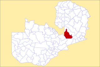
Serenje District is a district of Zambia, located in Central Province. The capital lies at Serenje. As of the 2022 Zambian Census, the district had a population of 158,192 people. It consists of two constituencies, namely Serenje and Muchinga. The district contains Lake Lusiwasi.

Gwembe District is a district of Zambia, located in Southern Province. The capital now lies at Munyumbwe. As of the 2022 Zambian Census, the district had a population of 79,273 people.

Monze District is a district of Zambia, located in Southern Province. The capital lies at Monze. As of the 2022 Zambian Census, the district had a population of 268,432 people.

Muchinga Province is one of the ten provinces of Zambia. It is located in the northeast of the country and borders with Tanzania in the north, Malawi in the east, Eastern Province in the south, Central Province in the southwest, Luapula Province in the west, and Northern Province in the northwest. The administrative center of the province is Chinsali.

Chipili District is a district of Zambia, located in Luapula Province. It was separated from Mwense District in 2012. As of the 2022 Zambian Census, the district had a population of 47,210 people.

Limulunga District is a district of Zambia, located in Western Province. The seat of the district is Limulunga. It was made independent from Mongu District in 2012. As of the 2022 Zambian Census, the district had a population of 61,102 people.
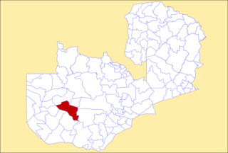
Luampa District is a district of Zambia, located in Western Province. It was separated from Kaoma District in 2012. As of the 2022 Zambian Census, the district had a population of 61,023 people.

Mitete District is a district of Zambia, located in Western Province. It was separated from Lukulu District in 2012. As of the 2022 Zambian Census, the district had a population of 39,641 people.
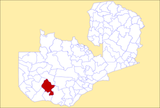
Mulobezi District is a district of Zambia, located in Western Province. It was separated from Sesheke District in 2013. As of the 2022 Zambian Census, the district had a population of 45,326 people.
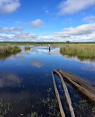
Mwandi District is a district of Zambia, located in Western Province. The capital lies at Mwandi. It was separated from Sesheke District in 2012. As of the 2022 Zambian Census, the district had a population of 40,418 people.

Nalolo District is a district of Zambia, located in Western Province. It was separated from Senanga District in 2012. As of the 2022 Zambian Census, the district had a population of 73,645 people.

Sioma District is a district of Zambia, located in Western Province on the west bank of the Zambezi River. The capital lies at Sioma. As of the 2022 Zambian Census, the district had a population of 65,539 people.

Sikongo is a constituency of the National Assembly of Zambia. It covers Sikongo District in Western Province.
