Following is a list of rivers of classical antiquity stating the Latin name, the equivalent English name, and also, in some cases, Greek and local name. The scope is intended to include, at least, rivers named and known widely in the Roman empire. This includes some rivers beyond the bounds of the Roman empire at its peak.
The Selgovae were a Celtic tribe of the late 2nd century AD who lived in what is now Kirkcudbrightshire and Dumfriesshire, on the southern coast of Scotland. They are mentioned briefly in Ptolemy's Geography, and there is no other historical record of them. Their cultural and ethnic affinity is commonly assumed to have been Brittonic.

The Ravenna Cosmography is a list of place-names covering the world from India to Ireland, compiled by an anonymous cleric in Ravenna around 700 AD. Textual evidence indicates that the author frequently used maps as his source.

Venta Icenorum was the civitas or capital of the Iceni tribe, located at modern-day Caistor St Edmund in the English county of Norfolk. The Iceni inhabited the flatlands and marshes of that county and are famous for having revolted against Roman rule under their queen Boudica in the winter of 61 CE.
The Cornovii is a name for a tribe presumed to have been part of the Dumnonii, a Celtic tribe inhabiting the south-west peninsula of Great Britain, during some part of the Iron Age, Roman and post-Roman periods. The Cornovii are supposed to have lived at the western end of the peninsula, in the area now known as Cornwall, and if the tribal name were correct it would be the ultimate source of the name of that present-day county.
Noviomagus Reginorum was Chichester's Roman heart, very little of which survives above ground. It lay in the land of the friendly Atrebates and is in the early medieval-founded English county of West Sussex. On the English Channel, Chichester Harbour, today eclipsed by Portsmouth Harbour, lies 4+1⁄2 miles south.

The Caersws Roman Forts are two Roman military camps at Caersws, Powys in Mid Wales. They were garrisoned during the occupation of Great Britain between the 1st and 5th centuries when this part of Wales was part of the Roman province of Britannia Superior. A surviving section of Roman road lies to the west of the encampments.

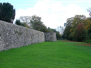
Portus Lemanis, also known as Lemanae, was the Latin name of a Roman Saxon Shore fort, settlement and port in southern Kent. The modern village of Lympne derives its name from the ancient port. The site, known locally as Stutfall Castle, is on private land which is accessible by public footpath.

Magnae, sometimes Magnae Dobunnorum to distinguish it from the Magnae of the Carvetii on Hadrian's Wall in northern Britain, was a Romano-British town and an important market centre for the British Dobunni tribe, located near modern-day Kenchester in Herefordshire, England. The town was shaped as an irregular hexagon, with a single main street along the line of the main Roman Road running east–west through the area, and an irregular pattern of side streets with tightly packed buildings leading off it.
Cataractonium was a fort and settlement in Roman Britain. The settlement evolved into Catterick, located in North Yorkshire, England.
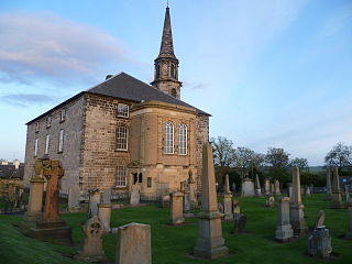
Inveresk Roman Fort is an archaeological site within the grounds of St Michael's Church, Inveresk, a village in East Lothian, Scotland.
Pinnata Castra was a settlement located in the north of the island of Great Britain, featuring in Ptolemy's 2nd century Geography as one of the four places listed as belonging to the Vacomagi tribe. It is also included as Pinnatis in the Ravenna Cosmography.
The Lopocares were a conjectural group of Ancient Britons inhabiting the area around Corbridge in Northumberland, Northeast England. They may have been a sub-tribe or sept of the Brigantes.
