South Coast | |
|---|---|
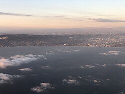 | |
 Location of the South Coast in California (The lighter shaded area includes Central Coast counties that are included in some definitions) | |
| Country | United States |
| State | California |
| Population (1990) [1] | |
• Total | 16.1 million |
The South Coast is a region of California, making up roughly the southernmost quarter of the Californian coast.
A Southern California coastal bioregion is defined by California Environmental Resources Evaluation System (CERES) as including parts of six counties: the western section of Ventura, all of Orange, the majority of Los Angeles, the southwestern corner of San Bernardino, the western area of Riverside, and the majority of western San Diego. CERES calls this the South Coast Bioregion. [1]
