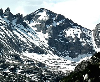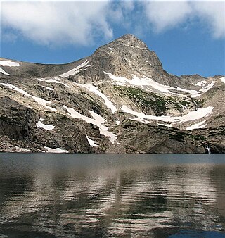
Blanca Peak is the fourth highest summit of the Rocky Mountains of North America and the U.S. state of Colorado. The ultra-prominent 14,351-foot (4,374 m) peak is the highest summit of the Sierra Blanca Massif, the Sangre de Cristo Range, and the Sangre de Cristo Mountains. The fourteener is located 9.6 miles (15.5 km) north by east of the Town of Blanca, on the drainage divide separating Rio Grande National Forest and Alamosa County from the Sangre de Cristo Land Grant and Costilla County. The summit is the highest point of both counties and the entire drainage basin of the Rio Grande. Below the steep North Face of Blanca Peak two live Glaciers once developed, until extinction sometime after 1903. North & South Blanca Glaciers were located at 37° 35N.,longitude 105° 28W. Blanca Peak is higher than any point in the United States east of its longitude.

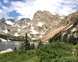
The Indian Peaks Wilderness is a 73,931 acre wilderness area in north central Colorado managed jointly by the United States Forest Service and the National Park Service within the Arapaho and Roosevelt National Forests and small parts of the southern section of Rocky Mountain National Park. It includes over 50 lakes, 28 trails, and numerous glaciers. It was founded as a protected area by an act of Congress in 1978. It borders the James Peak Wilderness to the south, and straddles the Continental Divide. The area receives high visitation due to its proximity to the Denver metropolitan area.

North Arapaho Peak is the highest summit of the Indian Peaks in the northern Front Range of the Rocky Mountains of North America. The 13,508-foot (4,117 m) thirteener is located in the Indian Peaks Wilderness, 7.8 miles (12.6 km) west-southwest of the Town of Ward, Colorado, United States, on the Continental Divide separating Roosevelt National Forest and Boulder County from Arapaho National Forest and Grand County.

Powell Peak is a summit in Grand County, Colorado, in the United States. With an elevation of 13,176 feet (4,016 m), Powell Peak is the 493rd-highest summit in the state of Colorado.
South Arapaho Peak is in the Indian Peaks Wilderness in the northern Front Range of the Rocky Mountains of North America. The 13,397-foot (4,083 m) thirteener is located west-southwest of the Town of Ward, Colorado, United States, just east of the Continental Divide separating Roosevelt National Forest and Boulder County from Arapaho National Forest and Grand County.

Mount Bethel is a 12,705-foot (3,872 m) mountain summit in Clear Creek County, Colorado, United States.

Square Top Mountain is a 13,794-foot (4,204 m) mountain summit in Clear Creek County, Colorado, United States.

Tenmile Peak is a 12,938-foot (3,944 m) mountain summit in Summit County, Colorado, United States.

Mount Jasper is a 12,923-foot (3,939 m) mountain summit on the boundary shared by Boulder County and Grand County, in Colorado, United States.

Baker Mountain is a 12,410-foot-elevation (3,780-meter) mountain summit in Grand County, Colorado, United States.

Chiefs Head Peak is a 13,577-foot-elevation (4,138-meter) mountain summit in Boulder County, Colorado, United States.

Pagoda Mountain is a 13,497-foot-elevation (4,114-meter) mountain summit in Boulder County, Colorado, United States.

Shoshoni Peak is a 12,967-foot (3,952 m) mountain summit on the boundary shared by Boulder County and Grand County, in Colorado, United States.

Navajo Peak is a 13,409-foot (4,087 m) mountain summit on the boundary shared by Boulder County and Grand County, in Colorado, United States.

Wheeler Mountain is a 13,690-foot (4,173 m) summit in Summit County, Colorado, United States.

Paiute Peak is a 13,088-foot (3,989 m) mountain summit on the boundary shared by Boulder County and Grand County, in Colorado, United States.

Mount Toll is a 12,979-foot (3,956 m) mountain summit on the boundary shared by Boulder County and Grand County, in Colorado, United States.

Pawnee Peak is a 12,943-foot (3,945 m) mountain summit on the boundary shared by Boulder County and Grand County, in Colorado, United States.

Mount Sheridan is a 13,748-foot (4,190 m) mountain summit on the boundary shared by Lake County and Park County, in Colorado, United States.

Sawtooth Mountain is a 12,304-foot (3,750 m) summit on the boundary shared by Boulder County and Grand County, in Colorado, United States.


