Choctaw County | |
|---|---|
 Choctaw County Courthouse and Confederate monument in Butler | |
Logo | |
 Location within the U.S. state of Alabama | |
 Alabama's location within the U.S. | |
| Coordinates: 32°01′13″N88°15′47″W / 32.0203°N 88.2631°W | |
| Country | |
| State | |
| Founded | December 29, 1847 |
| Named after | Choctaw tribe |
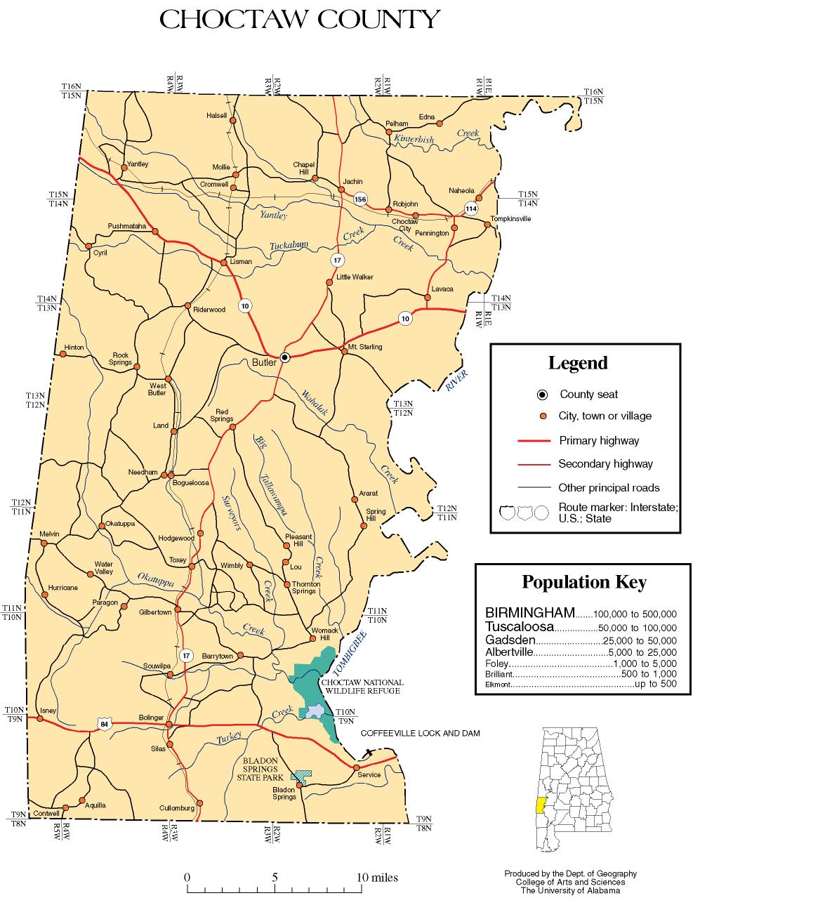
| Seat | Butler |
| Largest town | Butler |
| Area | |
• Total | 921 sq mi (2,390 km2) |
| • Land | 914 sq mi (2,370 km2) |
| • Water | 7.4 sq mi (19 km2) 0.8% |
| Population (2020) | |
• Total | 12,665 |
• Estimate (2024) | 12,052 |
| • Density | 14/sq mi (5.3/km2) |
| Time zone | UTC−6 (Central) |
| • Summer (DST) | UTC−5 (CDT) |
| Congressional district | 7th |
| Website | www |
| |
Choctaw County is a county located in the southwestern portion of the U.S. state of Alabama. As of the 2020 census, the population was 12,665. [1] The county seat is Butler. [2] The county was established on December 29, 1847, and named for the Choctaw tribe of Native Americans. [3]
