Autauga County | |
|---|---|
 Autauga County Courthouse in Prattville | |
 Seal Logo | |
 Location within the U.S. state of Alabama | |
 Alabama's location within the U.S. | |
| Coordinates: 32°32′12″N86°38′54″W / 32.5367°N 86.6483°W | |
| Country | |
| State | |
| Founded | November 21, 1818 |
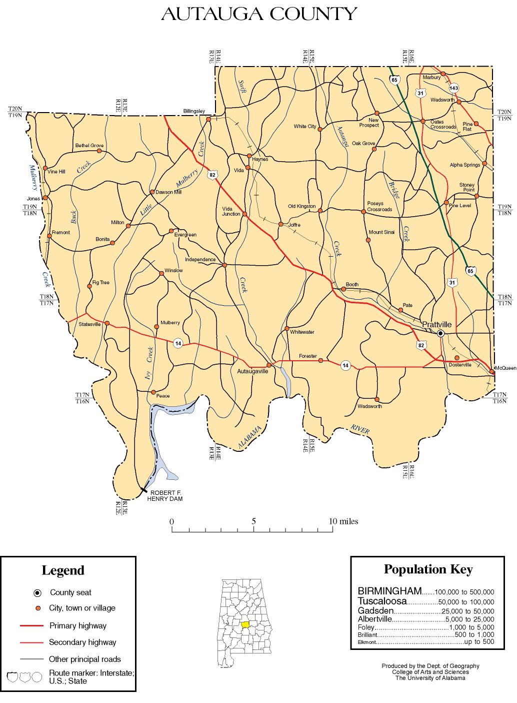
| Seat | Prattville |
| Largest city | Prattville |
| Area | |
• Total | 604 sq mi (1,560 km2) |
| • Land | 594 sq mi (1,540 km2) |
| • Water | 10 sq mi (26 km2) 1.6% |
| Population (2020) | |
• Total | 58,805 |
• Estimate (2024) | 61,464 |
| • Density | 99.0/sq mi (38.2/km2) |
| Time zone | UTC−6 (Central) |
| • Summer (DST) | UTC−5 (CDT) |
| Congressional district | 6th |
| Website | www |
| |
Autauga County is a county located in the central portion of the U.S. state of Alabama. As of the 2020 census the population was 58,805. [2] Its county seat is Prattville. [3]
Contents
- History
- Geography
- Climate
- Major highways
- Adjacent counties
- Demographics
- 2020 census
- 2010 census
- Education
- Districts
- Government
- Emergency Services
- Education 2
- Places of interest
- Communities
- Cities
- Towns
- Census-designated place
- Unincorporated communities
- Ghost town
- County subdivisions
- Notable people
- In popular culture
- See also
- References
- External links
Autauga County is part of the Montgomery metropolitan area.


