Monroe County | |
|---|---|
 The Old Monroe County Courthouse in Monroeville | |
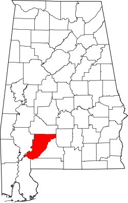 Location within the U.S. state of Alabama | |
 Alabama's location within the U.S. | |
| Coordinates: 31°34′15″N87°22′11″W / 31.570833333333°N 87.369722222222°W | |
| Country | |
| State | |
| Founded | June 29, 1815 |
| Named after | James Monroe |
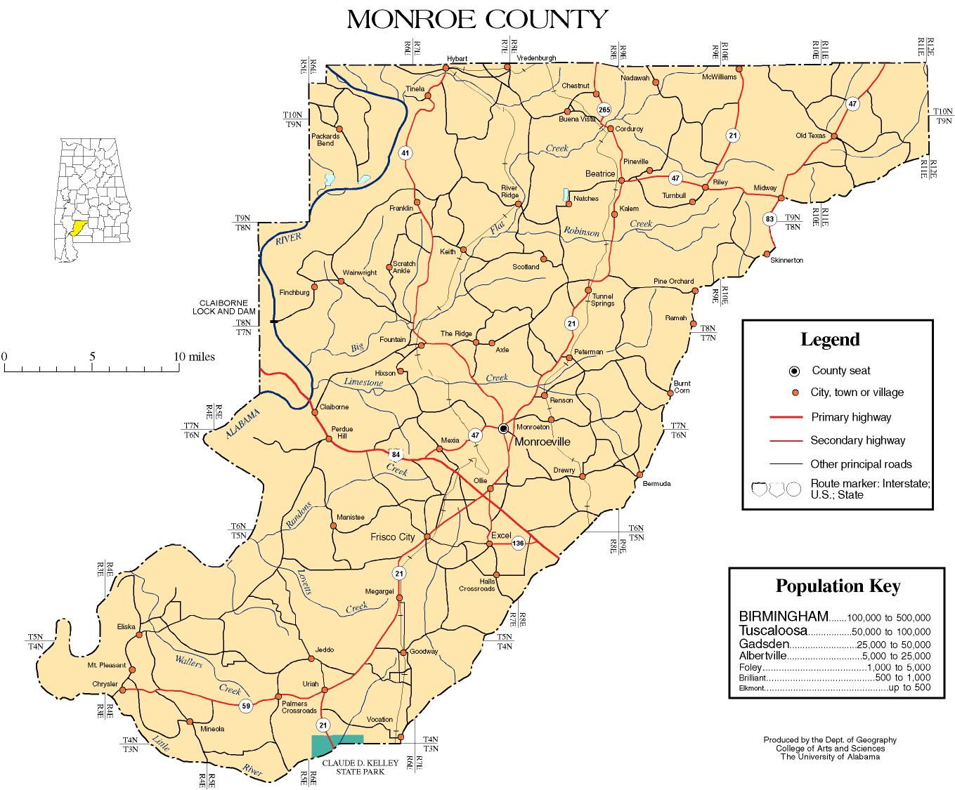
| Seat | Monroeville |
| Largest city | Monroeville |
| Area | |
• Total | 1,034 sq mi (2,680 km2) |
| • Land | 1,026 sq mi (2,660 km2) |
| • Water | 8.7 sq mi (23 km2) 0.8% |
| Population (2020) | |
• Total | 19,772 |
• Estimate (2024) | 19,057 |
| • Density | 19/sq mi (7.4/km2) |
| Time zone | UTC−6 (Central) |
| • Summer (DST) | UTC−5 (CDT) |
| Congressional district | 2nd |
| Website | www |
| |
Monroe County is a county located in the southwestern part of the U.S. state of Alabama. As of the 2020 census, the population was 19,772. [1] Its county seat is Monroeville. [2] Its name is in honor of James Monroe, fifth President of the United States. [3] It is a dry county, in which the sale of alcoholic beverages is restricted or prohibited, but Frisco City and Monroeville are wet cities.
Contents
- History
- Late 19th century to present
- Geography
- Major highways
- Adjacent counties
- Demographics
- 2020
- 2010
- 2000
- Politics
- Communities
- City
- Towns
- Census-designated places
- Unincorporated communities
- Ghost town
- Education
- Places of interest
- See also
- References
- External links
In 1997, the Alabama Legislature designated Monroeville and Monroe County as the "Literary Capital of Alabama". It is the birthplace of notable writer Harper Lee and served as the childhood home for Truman Capote, her lifelong friend and a fellow writer. Lee lived here most of her life. The enduring popularity of her novel, To Kill a Mockingbird (1960), as well as its film and stage adaptations, has attracted tourists to the city and area. Monroeville is also central to the 2019 film Just Mercy , based upon the 2014 eponymous book by Bryan Stevenson, recounting the wrongful conviction and sentencing to death of African American Walter McMillian.

