Russell County | |
|---|---|
 County courthouse in Phenix City | |
 Seal | |
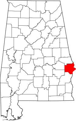 Location within the U.S. state of Alabama | |
 Alabama's location within the U.S. | |
| Coordinates: 32°17′12″N85°11′38″W / 32.2867°N 85.1939°W | |
| Country | |
| State | |
| Founded | December 18, 1832 |
| Named after | Gilbert C. Russell |
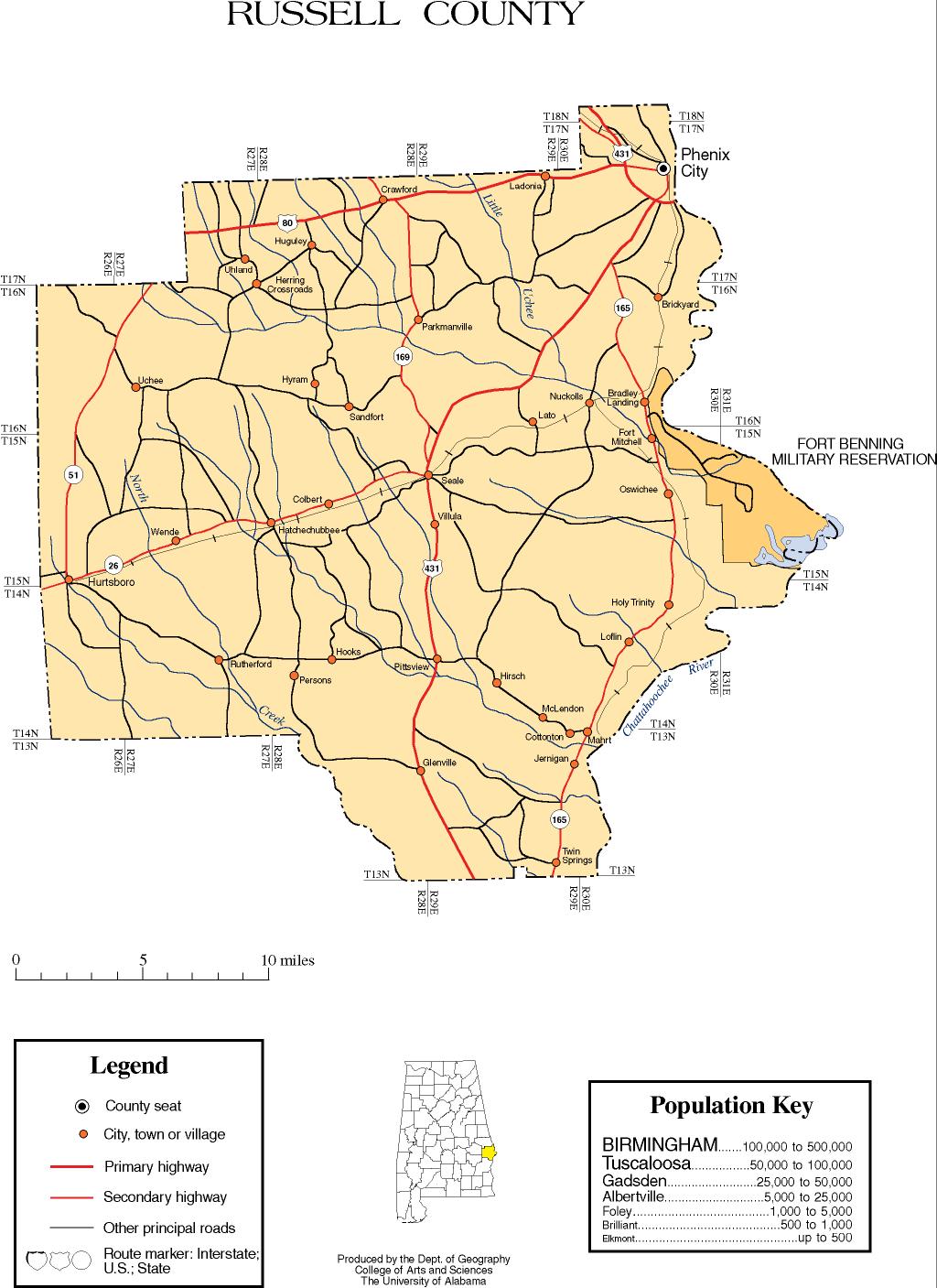
| Seat | Phenix City |
| Largest city | Phenix City |
| Area | |
• Total | 647 sq mi (1,680 km2) |
| • Land | 641 sq mi (1,660 km2) |
| • Water | 6.1 sq mi (16 km2) 0.9% |
| Population (2020) | |
• Total | 59,183 |
• Estimate (2024) | 58,837 |
| • Density | 92.3/sq mi (35.6/km2) |
| Time zone | UTC−6 (Central) |
| • Summer (DST) | UTC−5 (CDT) |
| Congressional district | 2nd |
| Website | russellcountyal |
| |
Russell County is the easternmost county in the U.S. state of Alabama. As of the 2020 census, the population was 59,183. [1] Its county seat is Phenix City. [2] Its name is in honor of Colonel Gilbert C. Russell, who fought in the wars against the Creek Indians.
Contents
- History
- Geography
- Major highways
- Transit
- Adjacent counties
- National protected area
- Demographics
- 2020 Census
- 2010 census
- 2000 census
- Government
- Communities
- City
- Town
- Census-designated place
- Unincorporated communities
- Former city
- Notable people
- See also
- References
- Sources
- External links
Russell County is part of the Columbus, GA-AL Metropolitan Statistical Area.
Of all counties in the United States, Russell County has the most people working in a state other than their own, at over 54% of the population, most of whom work in Columbus, Georgia. [3]

