
Sharkstooth Peak is a 12,468-foot-elevation (3,800-meter) mountain summit in Montezuma County, Colorado.

Lead Mountain is a summit in Grand County, Colorado, in the United States. With an elevation of 12,546 feet (3,824 m), Lead Mountain is the 970th-highest summit in the state of Colorado. Lead Mountain was named in 1879 on account of its lead deposits.

Hurricane Peak is a 13,447-foot-elevation (4,099-meter) mountain summit located in San Juan County of southwest Colorado, United States. It is situated equidistant between the historic towns of Ouray and Silverton, and is approximately nine miles west of the Continental Divide. It is part of the San Juan Mountains which are a subset of the Rocky Mountains. Topographic relief is significant as the north aspect rises 1,200 feet above Lake Como in one-half mile. Neighbors include Abrams Mountain 3.4 miles to the north, Red Mountain 2.2 miles to the west, and Tuttle Mountain 1.4 mile to the north. The Mountain Queen Mine, which is located on the east slope of Hurricane Peak at the head of California Gulch, is one of the oldest workings in the area and was most active from 1878 to 1880. The mountain's name, which has been officially adopted by the United States Board on Geographic Names, was in use in 1906 when Henry Gannett published it in the Gazetteer of Colorado.

Mount Jasper is a 12,923-foot (3,939 m) mountain summit on the boundary shared by Boulder County and Grand County, in Colorado, United States.

Tuttle Mountain is a 13,208-foot-elevation (4,026-meter) summit in San Juan County, Colorado, United States.
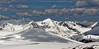
Mount Cirrus is a 12,808-foot-elevation (3,904-meter) mountain summit in Colorado, United States.

Mount Cumulus is a 12,729-foot-elevation (3,880-meter) mountain summit in Colorado, United States.
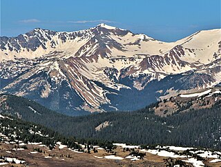
Mount Nimbus is a 12,721-foot-elevation (3,877-meter) mountain summit in Grand County, Colorado, United States.

Baker Mountain is a 12,410-foot-elevation (3,780-meter) mountain summit in Grand County, Colorado, United States.
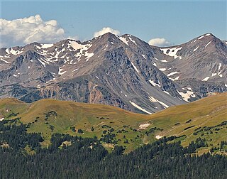
Howard Mountain is a 12,826-foot-elevation (3,909-meter) summit in Colorado, United States.

Sprague Mountain is a 12,713-foot-elevation (3,875-meter) mountain summit on the boundary shared by Grand County and Larimer County, in Colorado, United States. It is set on the Continental Divide in the Front Range of the Rocky Mountains, and 12.5 miles (20.1 km) west of the community of Estes Park. Precipitation runoff from the mountain's east side drains into tributaries of the Big Thompson River and the west slope drains into headwaters of Tonahutu Creek which flows to Grand Lake. Topographic relief is significant as the summit rises over 1,900 feet above Tonahutu Creek in one mile. The peak is visible from Trail Ridge Road.

Bowen Mountain is a 12,524-foot-elevation (3,817-meter) mountain summit in Grand County, Colorado, United States.

Mount Mahler is a 12,497-foot-elevation (3,809-meter) mountain summit in Jackson County, Colorado, United States.
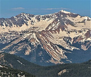
Mount Stratus is a 12,534-foot-elevation (3,820-meter) mountain summit in Grand County, Colorado, United States.

Carson Peak is a 13,662-foot-elevation (4,164-meter) summit in Hinsdale County, Colorado, United States.
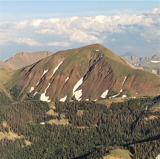
Lulu Mountain is a 12,217-foot-elevation (3,724-meter) summit in Colorado, United States.
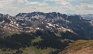
Brown Mountain is a 13,347-foot-elevation (4,068-meter) summit located on the boundary shared by Ouray County with San Juan County in Colorado, United States.

Parika Peak is a 12,402-foot-elevation (3,780-meter) mountain summit in Colorado, United States.

Cascade Mountain is a 12,326-foot-elevation (3,757-meter) mountain summit in Grand County, Colorado, United States.

Green Knoll is a 12,297-foot-elevation (3,748-meter) mountain summit in Grand County, Colorado, United States.


