Zambia, officially the Republic of Zambia, is a landlocked country at the crossroads of Central, Southern and East Africa, although it is typically referred to as being in Southern Africa at its most central point. Its neighbours are the Democratic Republic of the Congo to the north, Tanzania to the northeast, Malawi to the east, Mozambique to the southeast, Zimbabwe and Botswana to the south, Namibia to the southwest, and Angola to the west. The capital city of Zambia is Lusaka, located in the south-central part of Zambia. The nation's population of around 19.5 million is concentrated mainly around Lusaka in the south and the Copperbelt Province to the north, the core economic hubs of the country.

First Quantum Minerals is a Canadian-based mining and metals company whose principal activities include mineral exploration, development and mining. Its main product is copper, which accounts for 80% of revenues as of 2016.

The ten provinces of Zambia are divided into a total of 116 districts as of 2018.

Siavonga District is a district of Zambia, located in Southern Province. The capital lies at Siavonga. As of the 2000 Zambian Census, the district had a population of 58,864 people. It is separated from Zimbabwe by Lake Kariba.

Limulunga District is a district of Zambia, located in Western Province. The seat of the district is Limulunga. It was made independent from Mongu District in 2012.

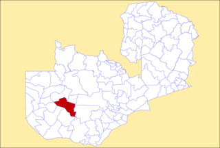
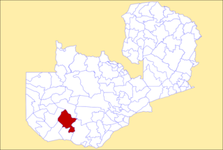
Luampa District is a district of Zambia, located in Western Province. It was separated from Kaoma District in 2012.

Mitete District is a district of Zambia, located in Western Province. It was separated from Lukulu District in 2012.

Mulobezi District is a district of Zambia, located in Western Province. It was separated from Sesheke District in 2013.

Mwandi District is a district of Zambia, located in Western Province. The capital lies at Mwandi. It was separated from Sesheke District in 2012.

Nalolo District is a district of Zambia, located in Western Province. It was separated from Senanga District in 2012.

Sikongo District is a district of Zambia, located in Western Province. It was separated from Kalabo District in 2012.

Chilanga District is a district of Lusaka Province, Zambia. The capital of the district is Chilanga. It was separated from Kafue District in 2012.

Chirundu District is a district of Southern Province, Zambia. Its headquarters is Chirundu. It was separated from Siavonga District by President Michael Sata in 2012.

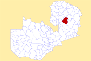
Kanchibiya District is a district of Muchinga Province, Zambia. It was separated from Mpika District in 2017.

Lavushimanda District is a district of Muchinga Province, Zambia. It was named after the Lavushi Manda National Park and separated from Mpika District in 2017. It also contains a town centre of the same name (Lavushimanda) on the Great North Road.

Lunte District is a district of Northern Province, Zambia. It was separated from Mporokoso District in 2017.

Mushindamo District, commonly misspelled Mushindano, is a district of North-Western Province, Zambia. It was created from part of Solwezi District in 2016. However, as of 2021, it is not clear where the Mushindamo Central Business District is to be located.

Chikankata District is a district of Southern Province, Zambia. It was separated from Mazabuka District in December 2011.

Pemba District is a district of Southern Province, Zambia. It was separated from Choma District in 2012.

Zimba District is a district of Southern Province, Zambia. Its capital lies at Zimba. It was separated from Kalomo District in 2012.


