Alto Jequitibá is a Brazilian municipality in the state of Minas Gerais. It belongs to the mesoregion of Zona da Mata and to the microregion of Manhuaçu. The municipality has a population of 8,301 (2020) and its area is 152 km².

Estiva is a municipality in the state of Minas Gerais in Brazil. The population is 11,386 in an area of 244 km2.

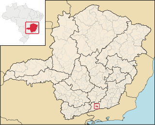
Tocos do Moji is a municipality in the state of Minas Gerais in Brazil. The population is 4,109 in an area of 115 km2.

Alagoa is a city in the Brazilian state of Minas Gerais. In 2020 its population was estimated to be 2,665.
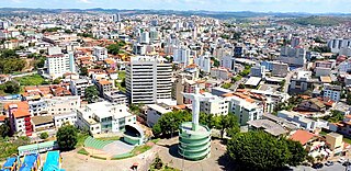
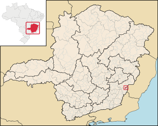
Conselheiro Lafaiete is a city of the state of Minas Gerais, Brazil. It was known as Queluz until 1934, when it was renamed by decree, as a tribute to Counselor Lafayette Rodrigues Pereira.

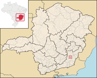
Santo Antônio do Amparo is a city in the southern part of the state of Minas Gerais, Brazil. The population is 18,613 in an area of 488.89 km2. The municipality was founded in 1938.
Cajuri is a Brazilian municipality located in the state of Minas Gerais. The city belongs to the mesoregion of Zona da Mata and to the microregion of Viçosa. As of 2020, the estimated population was 3,974.

Dom Silvério is a municipality in the Brazilian state of Minas Gerais. As of 2020, the estimated population was 5,232.

Jordânia is a Brazilian municipality located in the northeast of the state of Minas Gerais. The city belongs to the mesoregion of Jequitinhonha and to the microregion of Almenara. As of 2020 the population was 10,842 in a total area of 549 km2.

Caparaó is a Brazilian municipality located in the state of Minas Gerais. The city belongs to the mesoregion of Zona da Mata and to the microregion of Manhuaçu. The elevation of the city is 843m. As of 2020, the estimated population was 5,451.

Francisco Badaró is a municipality in the northeast of the Brazilian state of Minas Gerais. As of 2020 the population was 10,321 in a total area of 463 km2. The elevation of the town center is 377 meters. It is part of the IBGE statistical mesoregion of Jequitinhonha and the micro-region of Capelinha. It became a municipality in 1962.

Ferros is a Brazilian municipality located in the state of Minas Gerais. The city belongs to the mesoregion of Belo Horizonte and to the microregion of Itabira. As of 2020, the estimated population was 9,696.
Itabirinha is a municipality in eastern Minas Gerais in Brazil, in the region of Rio Doce. In 2020, the population of the city was 11,576.

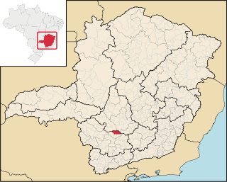
Carmópolis de Minas is a municipality in the Brazilian state of Minas Gerais. As of 2020, the estimated population was 19,559.

Chácara is a municipality in the Brazilian state of Minas Gerais. Its population was estimated at 3,186 as of 2020.
Candeias is a municipality in the state of Minas Gerais in the Southeast region of Brazil.

Piracema is a municipality in the state of Minas Gerais in the Southeast region of Brazil. As of 2020, the estimated population was 6,398.

Heliodora is a municipality in the state of Minas Gerais in the Southeast region of Brazil. As of 2020, the estimated population was 6,591.
Olaria is a municipality in the state of Minas Gerais in the Southeast region of Brazil. As of 2020, the estimated population was 1,720.

Goiabeira is a municipality in the state of Minas Gerais in the Southeast region of Brazil. As of 2020, its estimated population is 3,378.