In the administrative divisions of France, the department is one of the three levels of government under the national level, between the administrative regions and the communes. Ninety-six departments are in metropolitan France, and five are overseas departments, which are also classified as overseas regions. Departments are further subdivided into 332 arrondissements, and these are divided into cantons. The last two levels of government have no autonomy, instead serving as the basis of local organisation of police, fire departments and, sometimes, administration of elections.

South Kivu is one of 26 provinces of the Democratic Republic of the Congo. Its capital is Bukavu.

The Third Republic of the Democratic Republic of the Congo is a unitary state with a five-level hierarchy of types of administrative division. There are nine different types of country subdivision in a new hierarchy with no new types but with two from the previous one abolished.

Rutshuru is a town located in the North Kivu province of the eastern Democratic Republic of the Congo, and is headquarters of an administrative district, the Rutshuru Territory. The town lies in the western branch of the Albertine Rift between Lakes Edward and Kivu. The Ugandan border is 15 km east and the Rwandan border is 30 km south-east. Lava flows from the Nyamuragira volcano, 40 km south-west, have come within 7 km of the town in recent years.

Équateur is one of the 21 new provinces of the Democratic Republic of the Congo created in the 2015 repartitioning. Équateur, Mongala, Nord-Ubangi, Sud-Ubangi, and Tshuapa provinces are the result of the dismemberment of the former Équateur province. The new province was formed from the Équateur district and the independently administered city of Mbandaka which retained its status as a provincial capital.

Article 2 of the Constitution of the Democratic Republic of the Congo divides the country into the capital city of Kinshasa and 25 named provinces. It also gives the capital the status of a province. Therefore, in many contexts Kinshasa is regarded as the 26th province.

The provinces of the Democratic Republic of the Congo were divided into 26 districts. Those in turn were divided into territories or communes.

Tshopo is one of the 21 new provinces of the Democratic Republic of the Congo created in the 2015 repartitioning. It is situated in the north central part of the country on the Tshopo River, for which it is named.

Lulua District was a district of the Belgian Congo and the Democratic Republic of the Congo. The city of Kananga was at the center of the district, but had a separate administration. In 2015 Lulua District became the province of Kasaï-Central.

Équateur District was a former district of the Congo Free State, Belgian Congo and Democratic Republic of the Congo. In 1914 it became part of former Équateur Province. The district went through various changes of extent and name over the years. The original district roughly corresponds to the current provinces of Équateur and Tshuapa.

Kwilu is a province of the Democratic Republic of the Congo. It's one of the 21 provinces created in the 2015 repartitioning. Kwilu, Kwango, and Mai-Ndombe provinces are the result of the dismemberment of the former Bandundu province. Kwilu was formed from the Kwilu district and the independently administered cities of Bandundu and Kikwit. Bandundu is the provincial capital.

Kasai District was a district of the Congo Free State, Belgian Congo and the Democratic Republic of the Congo, named after the Kasai River. It was formed around 1885 and went through several large changes in extent in the years that followed. The 1933 version of the district roughly corresponded to the former Kasai-Occidental province and the present Kasaï and Kasaï-Central provinces.
Inongo Territory is a second-level administrative area (territory) in Maï-Ndombe Province in the Democratic Republic of the Congo. Its headquarters is in the provincial capital of Inongo.

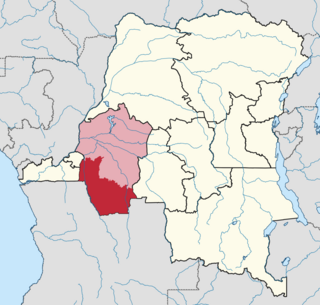
Kwango District was a district of the Congo Free State, Belgian Congo and the Democratic Republic of the Congo. It went through various changes in extent. It roughly corresponded to the present provinces of Kwilu and Kwango.

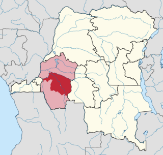
Kwilu District was a district of the Belgian Congo and the Democratic Republic of the Congo. It roughly corresponded to the present province of Kwilu.
Ingende Territory is a second-level administrative area (territory) in Équateur Province in the Democratic Republic of the Congo. Its headquarters is the town of Ingende.

The Districts of the Belgian Congo were the primary administrative divisions when Belgium annexed the Congo Free State in 1908, each administered by a district commissioner. In 1914 they were distributed among four large provinces, with some boundary changes. In 1933 the provinces were restructured into six, again with boundary changes. The number of districts fluctuated between 12 and 26 through splits and consolidations, first rising, then falling, then rising again.
Ubangi District was a district of the Congo Free State, Belgian Congo and Democratic Republic of the Congo. It went through various significant changes in extent.
The cities of the Democratic Republic of the Congo are administrative divisions of provinces with the exception of Kinshasa which itself has the status of a province. Cities are further divided into communes. They are led by mayors except for Kinshasa which is led by a governor.


