Ajaigarh or Ajaygarh is a town and a nagar panchayat in the Panna District of Madhya Pradesh state in central India.

Orchha is a town in Niwari district of Madhya Pradesh state, India. The town was established by rajput ruler Rudra Pratap Singh some time after 1501, as the seat of an eponymous former princely state of covering parts of central & north India, in the Bundelkhand region. Orchha lies on the Betwa River, 80 km from Tikamgarh & 15 km from Jhansi in Uttar Pradesh.

Barabanki district is one of the five districts of Faizabad division, in the central Awadh region of Uttar Pradesh, India. Barabanki city is the administrative headquarters of Barabanki district. Total area of Barabanki district is 3891.5 Sq. Km.
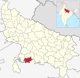
Mahoba district is one of the districts of Uttar Pradesh state of India and Mahoba town is the district headquarters. Mahoba district is a part of Chitrakoot Division. The district occupies an area of 2884 km². It has a population of 875,958. As of 2011 it is the least populous district of Uttar Pradesh. Mahoba District is also known as Alha-Udal Nagari.
Kurara is a town and a nagar panchayat in Hamirpur district in the Indian state of Uttar Pradesh.

Bhadohi district is a district of Uttar Pradesh state in northern India. The city of Gyanpur is the district headquarters. Bhadohi is one of largest centres of Carpet Industries in India and known as 'Carpet City'. Carpets of Bhadohi have 'Geographical Indication' tag attached to it. Bhadohi has huge geographical significance and position attached to it due to its location between two culturally important and rich heritage cities of Prayagraj and Varanasi.
Satna is a city in the Indian state of Madhya Pradesh. It serves as the headquarters of Satna district. It is 6th largest city and 8th most populous city of the state. The city is 500 km east of the state capital Bhopal. The city is distributed over a land area of 111.9 square kilometres.

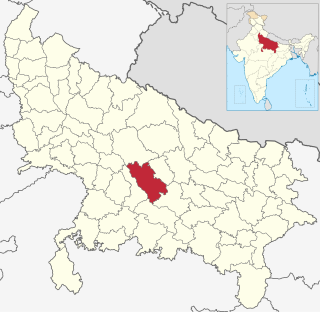
Lalitpur District is one of the districts of Uttar Pradesh state of India. Lalitpur district is a part of Jhansi Division. Lalitpur is the main town and administrative headquarters. The district occupies an area of 5,039 km².
Unnao district is a district of Uttar Pradesh state in northern India. The city of Unnao is the district headquarters. The district is part of Lucknow Division.
Mauranipur is a town and a municipal board in Jhansi district state of Uttar Pradesh, India. It is located in the Jhansi District. It's a largest tehsil in India. This town was known for textile production, known in ancient times as Madhupuri. There are many temples in Mauranipur. People call it mini ayoddhya. Jalvihar Mela and Viman Yatra are the most famous events in Mauranipur. The Kedareshwar temple and the Saprar dam are located near Mauranipur.

Kulpahar is a city in Mahoba district in the Indian state of Uttar Pradesh. It is a historical town in the Bundelkhand region. Before 11 Feb 1995 Kulpahar was a Tehsil of Hamirpur District. On 11 Feb 1995 Mahoba District was carved out of Hamirpur, and Kulpahar is now a part of the Mahoba District. Kulpahar is the largest Subdivision of Uttar Pradesh. Kulpahar is known for its closeness to Khajuraho and other historic places like Mahoba, Charkhari, Kalinjar Rath, Orchha, and Jhansi. This town holds relics of temples and man-made water bodies of the Chandela Dynasty
Budhana is a town, block, tehsil, Nagar Panchayat, and one of the constituencies of the Uttar Pradesh Legislative Assembly in Muzaffarnagar district in the state of Uttar Pradesh, India.

Gosainganj, also spelled Goshainganj or Gosaiganj is a town and nagar panchayat in Lucknow district of Uttar Pradesh, India. It is the seat of a community development block, which is included in the tehsil of Mohanlalganj. As of 2011, its population is 9,649, in 1,685 households. The starting point of the Purvanchal Expressway i.e. Chand Saray village is situated 2.5 km away from Gosainganj.
Rajapur is a town and tehsil of Chitrakoot district in the Indian state of Uttar Pradesh. It is situated along the bank of river Yamuna. It has its nickname as "Tulsi Dhaam" after great Hindi poet Goswami Tulsidas, who is the writer of holy "Ram Charit Manas" along with many other religious books of Hindus. There is a temple devoted to Tulsidas where part of the original "Hand written Scripture" of Ramcharitmanas is still available, although some pages may be missing. Rajapur is linked with Kaushambi district on the opposite bank of river Yamuna.
Tilhar is a city and very old tehsil of Uttar Pradesh, and municipal board of the Shahjahanpur district in the Indian state of Uttar Pradesh. It is a old city in Uttar Pradesh,And City Old Name is and currently has a population of 85000. It is also a constituency of Uttar Pradesh Vidhan Sabha. As the city was also known to supply bows to Mughul armies, Tilhar was also known as Kamaan Nagar during the reign of Emperor Jahangeer.
Rath is a small town with a municipal board in Hamirpur district in the Indian state of Uttar Pradesh. Rath is a Tehsil of Hamirpur District. It is situated 506 km southeast of New Delhi.

Mahmudabad, also known as Mahmudabad Awadh is a town and a municipal board in Sitapur district in the Indian state of Uttar Pradesh.

Orchha State was a kingdom situated in the Bundelkhand region and later a princely state in British India. The state was ruled by Bundela clan of Rajputs. It was located within what is now the state of Madhya Pradesh.

Ajaigarh State was one of the princely states of India during the period of the British Raj. The state was ruled by Bundela clan of Rajput.The state was founded in 1785 and its capital was located in Ajaigarh, Madhya Pradesh.

Jaitpur State was a princely state in the Bundelkhand region. It was centered on Jaitpur, in present-day Mahoba district, Uttar Pradesh, which was the capital of the state. There were two forts in the area.

