Alder, Colorado | |
|---|---|
 Alder in winter | |
 Alder Location of Alder, Colorado.  Alder Alder (Colorado) | |
| Coordinates: 38°22′10″N106°02′22″W / 38.3694°N 106.0395°W [1] | |
| Country | United States |
| State | Colorado |
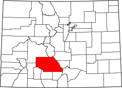
| County | Saguache [2] |
| Government | |
| • Body | Saguache County [2] |
| Elevation | 8,544 ft (2,604 m) |
| Time zone | UTC−07:00 (MST) |
| • Summer (DST) | UTC−06:00 (MDT) |
| GNIS pop ID | 189960 |
Alder is an extinct town located in Saguache County, Colorado, United States. [1]