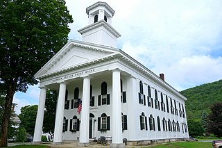
Marlboro College was a private college in Marlboro, Vermont. Founded in 1946, it remained intentionally small, operating as a self-governing community with students following self-designed degree plans culminating in a thesis. In 1998 the college added a graduate school.

Windham County is a county located in the U.S. state of Vermont. As of the 2020 census, the population was 45,905. The shire town is Newfane, and the largest municipality is the town of Brattleboro.

Marlboro is a town in Windham County, Vermont, United States. The population was 1,722 at the 2020 census. The town is home to both the Southern Vermont Natural History Museum and Marlboro College, which hosts the Marlboro Music School and Festival each summer.

The Connecticut River is the longest river in the New England region of the United States, flowing roughly southward for 406 miles (653 km) through four states. It rises 300 yards south of the U.S. border with Quebec, Canada, and discharges at Long Island Sound. Its watershed encompasses 11,260 square miles (29,200 km2), covering parts of five U.S. states and one Canadian province, via 148 tributaries, 38 of which are major rivers. It produces 70% of Long Island Sound's fresh water, discharging at 18,400 cubic feet (520 m3) per second.

Hinsdale is a town in Cheshire County, New Hampshire, United States. The population was 3,948 at the 2020 census. Hinsdale is home to part of Pisgah State Park in the northeast, and part of Wantastiquet Mountain State Forest in the northwest.

Charlestown is a town in Sullivan County, New Hampshire, United States. The population was 4,806 at the 2020 census, down from 5,114 at the 2010 census. The town is home to Hubbard State Forest and the headquarters of the Student Conservation Association.

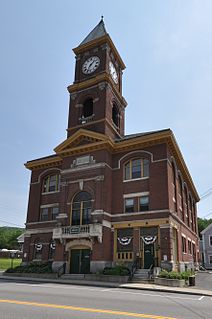
Brattleboro, originally Brattleborough, is a town in Windham County, Vermont, United States. The most populous municipality abutting Vermont's eastern border with New Hampshire, which is the Connecticut River, Brattleboro is located about 10 miles (16 km) north of the Massachusetts state line, at the confluence of Vermont's West River and the Connecticut. As of the 2020 Census, the population was 12,184.

The Hackensack River is a river, approximately 45 miles (72 km) long, in the U.S. states of New York and New Jersey, emptying into Newark Bay, a back chamber of New York Harbor. The watershed of the river includes part of the suburban area outside New York City just west of the lower Hudson River, which it roughly parallels, separated from it by the New Jersey Palisades. It also flows through and drains the New Jersey Meadowlands. The lower river, which is navigable as far as the city of Hackensack, is heavily industrialized and forms a commercial extension of Newark Bay. Once believed to be among the most polluted watercourses in the United States, it staged a modest revival by the late 2000s.

Newtown Creek, a 3.5-mile (6-kilometer) long tributary of the East River, is an estuary that forms part of the border between the boroughs of Brooklyn and Queens, in New York City. Channelization made it one of the most heavily used bodies of water in the Port of New York and New Jersey and thus one of the most polluted industrial sites in the US, containing years of discarded toxins, an estimated 30,000,000 US gallons of spilled oil, including the Greenpoint oil spill, raw sewage from New York City’s sewer system, and other accumulation from a total of 1,491 sites.

Kimball Union Academy is a private boarding school located in New Hampshire. Founded in 1813, it is the 22nd oldest boarding school in the United States. The academy's mission is to "create a deep sense of belonging for every member of our community. Through intentionally designed experiences and challenges, our students develop the knowledge, voice, and character to live with purpose and integrity." It is located in the upper Connecticut River Valley village of Meriden, New Hampshire.
Vermont Route 9 is a state highway in the U.S. state of Vermont. The highway runs 46.957 miles (75.570 km) from the New York state line in Bennington, where it continues west as New York State Route 7, to the New Hampshire state line at the Connecticut River in Brattleboro, where the highway continues as New Hampshire Route 9. VT 9 is the primary east–west highway of Bennington and Windham counties in southern Vermont. The highway connects Southern Vermont's primary towns of Bennington and Brattleboro via its crossing of the Green Mountains. VT 9 also connects those towns with Troy, New York, and Keene, New Hampshire, via the connecting highways in those states. The highway also intersects three major north–south routes: U.S. Route 7 in Bennington and Interstate 91 (I-91) and US 5 in Brattleboro.
The Windham-3-1 Representative District is a one-member state Representative district in the U.S. state of Vermont. It is one of the 108 one or two member districts into which the state was divided by the redistricting and reapportionment plan developed by the Vermont General Assembly following the 2000 U.S. Census. The plan applies to legislatures elected in 2002, 2004, 2006, 2008, and 2010. A new plan will be developed in 2012 following the 2010 U.S. Census.
The Windham-3-2 Representative District is a one-member state Representative district in the U.S. state of Vermont. It is one of the 108 one or two member districts into which the state was divided by the redistricting and reapportionment plan developed by the Vermont General Assembly following the 2000 U.S. Census. The plan applies to legislatures elected in 2002, 2004, 2006, 2008, and 2010. A new plan will be developed in 2012 following the 2010 U.S. Census.

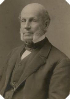
Frederick Holbrook was an American farmer and businessman from Vermont. Active in politics and government, first as a Whig, and later as a Republican, he was most notable for his service as the 27th governor of Vermont from 1861 to 1863.

Naylors Run is a 4.6-mile-long (7.4 km) tributary of Cobbs Creek in Haverford and Upper Darby Township, Pennsylvania, United States.
The Greenpoint oil spill is one of the largest oil spills ever recorded in the United States. Located around Newtown Creek in the Greenpoint neighborhood of Brooklyn, New York City, between 17 and 30 million US gallons of oil and petroleum products have leaked into the soil from crude oil processing facilities over a period of several decades. The spill was first noticed in 1978, and soil vapor tests were still reported as returning positive in 2008.

The Kingston Fossil Plant coal fly ash slurry spill was an environmental and industrial disaster that occurred on Monday December 22, 2008, when a dike ruptured at a coal ash pond at the Tennessee Valley Authority's Kingston Fossil Plant in Roane County, Tennessee, releasing 1.1 billion US gallons of coal fly ash slurry. The coal-fired power plant, located across the Clinch River from the city of Kingston, used a series of ponds to store and dewater the fly ash, a byproduct of coal combustion. The spill released a slurry of fly ash and water, which traveled across the Emory River and its Swan Pond embayment, onto the opposite shore, covering up to 300 acres (1.2 km2) of the surrounding land. The spill damaged multiple homes and flowed into nearby waterways including the Emory River and Clinch River, both tributaries of the Tennessee River. It was the largest industrial spill in United States history.
Imperial Oil is a current Superfund site located off Orchard Place near Route 79 in Morganville, Marlboro Township, Monmouth County, New Jersey. This site is one of 114 Superfund sites in New Jersey. It is in the U.S. Environmental Protection Agency (EPA) Region 2 Superfund area of control and organization. The 15-acre (61,000 m2) Imperial Oil Co./Champion Chemicals site consisted of six production, storage, and maintenance buildings and 56 above-ground storage tanks.

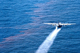
Corexit is a product line of oil dispersants used during oil spill response operations. It is produced by Nalco Holding Company, an indirect subsidiary of Ecolab. Corexit was originally developed by the Standard Oil Company of New Jersey. Corexit is typically applied by aerial spraying or spraying from ships directly onto an oil slick. On contact with the dispersant, oil that would otherwise float on the surface of the water is emulsified into tiny droplets and sinks or remains suspended in the water. In theory this allows the oil to be more rapidly degraded by bacteria (bioremediation) and prevents it from accumulating on beaches and in marshes.

The Green River is a tributary of the Deerfield River in southern Vermont and northwestern Massachusetts in the United States.


