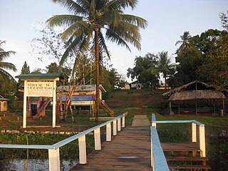
Charity is a small township in Guyana, located in the Pomeroon-Supenaam Region No.2, which is part of the Essequibo County.

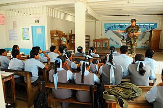
Santa Rosa is a community in the Barima-Waini region of northern Guyana. Santa Rosa mission was established in 1840, and is one of the earliest Catholic Missions in Guyana. The village is part of the North West Amerindian District.
Kartabo is a village in the Cuyuni-Mazaruni Region of Guyana.

Annai is an Amerindian village in the Upper Takutu-Upper Essequibo Region of Guyana.
Baracara was founded as a maroon community in the East Berbice-Corentyne Region of Guyana, located on the Canje River. The community has also been called New Ground Village or Wel te Vreeden. Baracara is 20 miles west of Corriverton and just north of the Torani Canal's connection to the Canje River.

Kabakaburi is an Amerindian village in the Pomeroon-Supenaam Region of Guyana on the Pomeroon River, 56 km (35 mi) from its mouth. The village was founded in 1845 by William Henry Brett on the location where Fort Durban used to be.
The Arawak village of Wakapau is located in the Pomeroon-Supenaam Region of Guyana, on the Wakapau River, a tributary on the west bank of the Pomeroon River, 3 kilometres (1.9 mi) from its mouth. The name originates from the Lokono word ‘Wakokwãn’, which means pigeon. The village is composed of twenty inhabited islands. Some of the islands only contain a single family.
Adventure is a village located in the Pomeroon-Supenaam Region of Guyana, on the Atlantic coast, at sea level, one mile south of Onderneeming.
St. Monica Karawab is a village in the Pomeroon-Supenaam region of Guyana. The village is an Amerindian village.

Mainstay Lake is a lake in the Pomeroon-Supenaam Region of Guyana, near the Atlantic coast, northwest of the mouth of the Essequibo River, 12 miles (19 km) north of Adventure. There is a 0.5 miles (0.80 km) stretch of white sand at the edge of the lake.
St. Cuthbert's Mission is an Amerindian village on the Mahaica River in the Demerara-Mahaica region of Guyana. It comprises approximately 200 households. St. Cuthbert's is regarded by many people in Guyana as the "cultural capital" for Amerindians.
Fairview (Kurupukari) is an indigenous settlement on the Essequibo River, in the Upper Demerara-Berbice region of Guyana. It is the entry point to the Iwokrama Forest. Former president David A. Granger once referred to Iwokrama as the "green heart of Guyana."
Moraikobai is an Amerindian village located in the Mahaica-Berbice of Guyana, South America.
Issano is a village of Cuyuni-Mazaruni, Guyana. It's located along the Mazaruni River, and is a hub for mining.
Rewa is an Amerindian village in the Upper Takutu-Upper Essequibo region of Guyana.
Isseneru is an Amerindian settlement in the Cuyuni-Mazaruni region of Guyana, approximately 15–20 miles west of Kurupung.
Paruima is an indigenous village of Pemon Amerindians in the Cuyuni-Mazaruni Region of Guyana. The village was founded as a mission of the Seventh-day Adventist Church. It is the only Pemon speaking community in Guyana.

Santa Mission is a village in the Essequibo Islands-West Demerara Region of Guyana. Santa Mission is mainly inhabited by Lokono Amerindians. The village is located on the Kamuni Creek, a tributary of the Demerara River. The village of Hopetown, an early Chinese settlement, is located about 15 kilometres (9.3 mi) from Santa Mission.

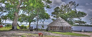
Capoey is a village in the Pomeroon-Supenaam Region of Guyana. The village is mainly inhabited by Lokono Amerindians. It is located on Lake Capoey, a blackwater lake, which is one of largest lakes of Essequibo.


