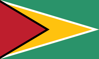
Pomeroon-Supenaam is a region of Guyana. Venezuela claims the territory as part of Guayana Esequiba.

Annai is an Amerindian village in the Upper Takutu-Upper Essequibo Region of Guyana.
The Arawak village of Wakapau is located in the Pomeroon-Supenaam Region of Guyana, on the Wakapau River, a tributary on the west bank of the Pomeroon River, 3 kilometres (1.9 mi) from its mouth. The name originates from the Lokono word ‘Wakokwãn’, which means pigeon. The village is composed of twenty inhabited islands. Some of the islands only contain a single family.
Bethany Village is a mission located on the Araburia River, a tributary three miles up the Supenaam River in Pomeroon-Supenaam, Essequibo in Guyana.
St. Monica Karawab is a village in the Pomeroon-Supenaam region of Guyana. The village is an Amerindian village.

Guyana, officially the Co‑operative Republic of Guyana, is a country on the northern mainland of South America. Guyana is an indigenous word which means "Land of Many Waters". The capital city is Georgetown. Guyana is bordered by the Atlantic Ocean to the north, Brazil to the south and southwest, Venezuela to the west, and Suriname to the east. With 215,000 km2 (83,000 sq mi), Guyana is the third-smallest sovereign state by area in mainland South America after Uruguay and Suriname, and is the second-least populous sovereign state in South America after Suriname; it is also one of the least densely populated countries on Earth. It has a wide variety of natural habitats and very high biodiversity.

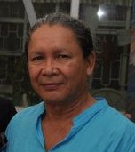
George Simon was a Guyanese Lokono Arawak artist and archaeologist. He was the founder and mentor of the Lokono Artists Group, a group of Lokono artists from Guyana, based primarily in Simon's hometown of St. Cuthbert's Mission. Simon was widely regarded as one of the leading Guyanese artists of his generation, and his paintings are notable for their explorations of Amerindian culture and the Guyanese environment. He was also recognized for his achievements as an educator, his efforts to develop opportunities for Amerindian artists in Guyana, and for his work as an archaeologist.
St. Cuthbert's Mission is an Amerindian village on the Mahaica River in the Demerara-Mahaica region of Guyana. It comprises approximately 200 households. St. Cuthbert's is regarded by many people in Guyana as the "cultural capital" for Amerindians.
Aranaputa is an Amerindian village in the Upper Takutu-Upper Essequibo, Guyana. It is located in the Pacaraima Mountains.
Hiawa is an indigenous village of Macushi Amerindians in the Upper Takutu-Upper Essequibo Region of Guyana. It is located in the Rupununi savannah. Hiawa is considered a satellite of Nappi.
Karasabai is an indigenous village of Macushi Amerindians in the Upper Takutu-Upper Essequibo Region of Guyana. It is located in the South Pakaraima Mountains, and near the Ireng River which flows south to the Amazon River.

Yupukari is an indigenous village of Macushi and Wapishana Amerindians in the Upper Takutu-Upper Essequibo Region of Guyana. It is located between the Kanuku and Pakaraima Mountains along the Rupununi River.
St. Ignatius is an Amerindian village in the Upper Takutu-Upper Essequibo region of Guyana, near the regional capital Lethem and the border of Brazil. It was originally a mission founded by Jesuit priests to serve the Amerindians in the Rupununi savannah.
Sand Creek is a village in the Upper Takutu-Upper Essequibo Region of Guyana. Sand Creek is inhabited by Wapishana Amerindians. It is located on the Rupununi River. The main language spoken in the village is Wapishana with English as secondary language.

Santa Mission is a village in the Essequibo Islands-West Demerara Region of Guyana. Santa Mission is mainly inhabited by Lokono Amerindians. The village is located on the Kamuni Creek, a tributary of the Demerara River. The village of Hopetown, an early Chinese settlement, is located about 15 kilometres (9.3 mi) from Santa Mission.
Katoonarib is a village in the Upper Takutu-Upper Essequibo Region of Guyana. Katoonarib is inhabited by Wapishana, Macushi and other Amerindians. It is located near the Rupununi River. The main language spoken in the village is Wapishana with English as secondary language.
Toka is an indigenous village of Macushi Amerindians in the Upper Takutu-Upper Essequibo Region of Guyana. It is located in the North Rupununi Wetlands.

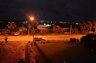
Tuschen is a village in the Essequibo Islands-West Demerara Region of Guyana. It is located along the Atlantic Ocean coast. The original name of the village was Tuschen de Vrienden. During the 20th century, it was a small village. The Tuschen Housing Scheme resulted in a considerable growth, and is one of the largest housing schemes in Guyana.
Agatash is a village in the Cuyuni-Mazaruni Region of Guyana. It is located about 3 miles (4.8 km) south of Bartica along the Essequibo River opposite Sloth Island.
Nappi is an indigenous village of Macushi Amerindians in the Upper Takutu-Upper Essequibo Region of Guyana. It is located in the Rupununi savannah along the Nappi and Maipaima creeks on the edge of the Kanuku Mountains.


