| Flag | Date | Use | Description |
|---|
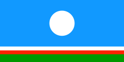
 | 1996–Present | Flag of Yakutsk | |
 | ?–Present | Flag of Zhatay | |
 | ?–Present | Flag of Abyysky District | |
 | ?–Present | Flag of Aldansky District | |
 | ?–Present | Flag of Amginsky District | |
 | ?–Present | Flag of Anabarsky District | |
 | ?–Present | Flag of Bulunsky District | |
 | ?–Present | Flag of Churapchinsky District | |
 | ?–Present | Flag of Eveno-Bytantaysky National District | |
 | ?–Present | Flag of Gorny District | |
 | ?–Present | Flag of Khangalassky District | |
 | ?–Present | Flag of Kobyaysky District | |
 | ?–Present | Flag of Lensky District | |
 | ?–Present | Flag of Megino-Kangalassky District | |
 | ?–Present | Flag of Mirninsky District | |
 | ?–Present | Flag of Momsky District | |
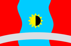
 | 2013–Present | Flag of Namsky District | |
 | ?–2013 | |
 | 2003–Present | Flag of Neryungrinsky District | |
 | ?–2003 | |
 | ?–Present | Flag of Nyurbinsky District | |
 | ?–Present | Flag of Olenyoksky District | |
 | ?–Present | Flag of Olyokminsky District | |
 | ?–Present | Flag of Oymyakonsky District | |
 | ?–Present | Flag of Srednekolymsky District | |
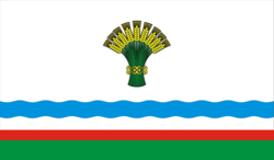
 | ?–Present | Flag of Suntarsky District | |
 | ?–? | |
 | ?–Present | Flag of Tattinsky District | |
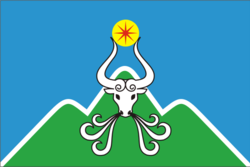
 | 2003–Present | Flag of Tomponsky District | |
 | ?–2003 | |
 | ?–Present | Flag of Ust-Aldansky District | |
 | ?–Present | Flag of Ust-Maysky District | |
 | ?–Present | Flag of Ust-Yansky District | |
 | ?–Present | Flag of Verkhnekolymsky District | |
 | ?–Present | Flag of Verkhnevilyuysky District | |
 | ?–Present | Flag Verkhoyansky District | |
 | 2003–Present | Flag of Vilyuysky District | A horizontal tricolor of blue, yellow and green. |
 | ?–2003 | A horizontal quadricolor of blue, yellow, green and dark blue. |
 | ?–Present | Flag of Zhigansky District | |