| ||||
|---|---|---|---|---|
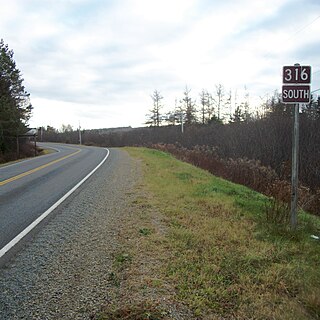
| Route information | ||||
| Maintained by Nova Scotia Department of Transportation and Infrastructure Renewal | ||||
| Length | 25 km [1] (16 mi) | |||
| Major junctions | ||||
| South end | Margus Lane in Sambro | |||
| North end | ||||
| Highway system | ||||
Provincial highways in Nova Scotia
| ||||
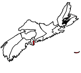
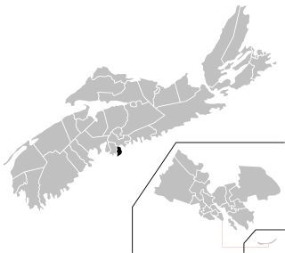
Route 349 is collector road in the Canadian province of Nova Scotia.

Canada is a country in the northern part of North America. Its ten provinces and three territories extend from the Atlantic to the Pacific and northward into the Arctic Ocean, covering 9.98 million square kilometres, making it the world's second-largest country by total area. Its southern border with the United States, stretching some 8,891 kilometres (5,525 mi), is the world's longest bi-national land border. Canada's capital is Ottawa, and its three largest metropolitan areas are Toronto, Montreal, and Vancouver.

Nova Scotia is one of Canada's three Maritime Provinces, and one of the four provinces that form Atlantic Canada. Its provincial capital is Halifax. Nova Scotia is the second-smallest of Canada's ten provinces, with an area of 55,284 square kilometres (21,300 sq mi), including Cape Breton and another 3,800 coastal islands. As of 2016, the population was 923,598. Nova Scotia is Canada's second-most-densely populated province, after Prince Edward Island, with 17.4 inhabitants per square kilometre (45/sq mi).
Contents
It is located in the Halifax Regional Municipality and connects Armdale at the Armdale Traffic Circle with Sambro.

Sambro is a rural fishing community on the Chebucto Peninsula in the Halifax Regional Municipality, in Nova Scotia, Canada.
It runs on Herring Cove Road from Armdale to Herring Cove, the Ketch Harbour Road from Herring Cove to Sambro, and Old Sambro Road within Sambro to the highway's terminus at the end of Bull Point.
Herring Cove is a Canadian suburban and former fishing community in Nova Scotia's Halifax Regional Municipality. It is situated on the eastern shore of the Chebucto Peninsula, 15 kilometres south of Downtown Halifax. It is near the western approaches to Halifax Harbour, and can be reached both via Purcell's Cove along the coastal road and from inland via the Herring Cove Road through Spryfield. There are two schools in Herring Cove, William King Elementary and Herring Cove Junior High. The community is also home to a small variety of small businesses and programs.