
Trunk 1 is part of the Canadian province of Nova Scotia's system of Trunk Highways.
Route 318 is a collector road in the Canadian province of Nova Scotia.
Trunk 4 is part of the Canadian province of Nova Scotia's system of Trunk Highways. The route runs from Highway 104 exit 7 near Thomson Station to Glace Bay. Until the construction of the Trans-Canada Highway, Trunk 4 was a major traffic link in northern Nova Scotia and Cape Breton, and is still used on Cape Breton as an alternative to Highway 105. The highway was originally called the King's Highway, however, this name is no longer applied to the entire road. The only remaining historic section of the highway that maintains the name "King" is King's Road in Sydney.
Trunk 6 is part of the Canadian province of Nova Scotia's system of trunk highways. The route runs from Highway 104 exit 3 at Amherst to the rotary at Pictou, a distance of 136 kilometres (85 mi). It is part of the Sunrise Trail, a designated tourist route.
The Bedford Bypass, internally designated as Trunk 33, is a highway in the Canadian province of Nova Scotia.

The 100-Series Highways are a series of arterial highways in the Canadian province of Nova Scotia.

Route 333 is a collector road in the Canadian province of Nova Scotia.
The Glooscap Trail is a scenic roadway in the Canadian province of Nova Scotia.
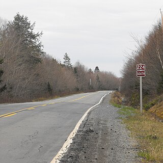
Route 224 is a collector road in the Canadian province of Nova Scotia. It is located in the Halifax Regional Municipality and Colchester County, connecting Sheet Harbour at Trunk 7 with Milford Station at Exit 9 of Highway 102 and Trunk 14. The route passes through the upper half of the Musquodoboit Valley.
Route 289 is a collector road in the Canadian province of Nova Scotia.
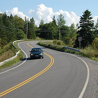
Route 215 is collector road in the Canadian province of Nova Scotia.
Route 376 is a collector road in the Canadian province of Nova Scotia.
Route 368 is a collector road in the Canadian province of Nova Scotia.
Route 245 is a collector road in the Canadian province of Nova Scotia. Route 245 is part of the Sunrise Trail.
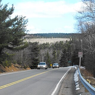
Route 321 is a collector road in the Canadian province of Nova Scotia.

Route 246 is a collector road in the Canadian province of Nova Scotia.
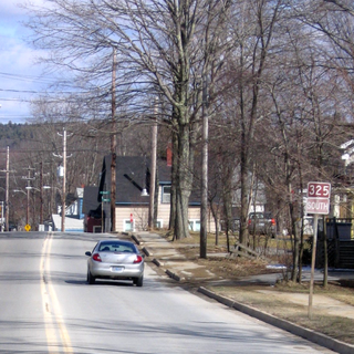
Route 325 is a collector road in the Canadian province of Nova Scotia. It is located in Lunenburg County and connects Colpton at Route 208 with Mahone Bay at Trunk 3.
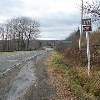
Route 347 is a collector road in the Canadian province of Nova Scotia. It is located in the northeastern part of the province and connects New Glasgow at Trunk 4 with Aspen at Trunk 7.
The Wentworth Valley is a valley in the Cobequid Mountains of northwestern Nova Scotia, Canada. It comprises the lowest elevation pass through the Cobequids. It was named after the colonial governor John Wentworth (1792-1808).


