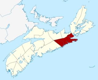
Liverpool is a Canadian community and former town located along the Atlantic Ocean of the Province of Nova Scotia's South Shore. It is situated within the Region of Queens Municipality which is the local governmental unit that comprises all of Queens County, Nova Scotia.
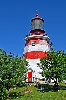
Barrington, officially named the Municipality of the District of Barrington, is a district municipality in western Shelburne County, Nova Scotia, Canada. Statistics Canada classifies the district municipality as a municipal district.

Shelburne, officially named the Municipality of the District of Shelburne, is a district municipality comprising the eastern section of Shelburne County, Nova Scotia, Canada. Statistics Canada classifies the district municipality as a municipal district.
Nova Scotia Trunk 7 is part of the Canadian province of Nova Scotia's system of Trunk Highways. The route runs from Bedford to Antigonish, along the Eastern Shore for a distance of 269 kilometres (167 mi). Part of Trunk 7 is known as the Marine Drive.
Route 322 is a collector road in the Canadian province of Nova Scotia.
Route 374 is a collector road in the Canadian province of Nova Scotia. It connects New Glasgow at Exit 24 of Nova Scotia Highway 104 with Sheet Harbour at Trunk 7. The highway runs through the Halifax Regional Municipality, Guysborough County & Pictou County.
Route 213 is a collector road in the Canadian province of Nova Scotia. It is located in the Halifax Regional Municipality, connecting Bedford at Trunk 2 with Upper Tantallon at Trunk 3 with interchanges with Highway 102 and Highway 103 located near the termini.
The Marine Drive is a designated scenic route along Nova Scotia's Eastern Shore. It closely follows the coast of the Atlantic Ocean and the Strait of Canso from the Canso Causeway to the junction of Route 322 and Highway 111 in Dartmouth.
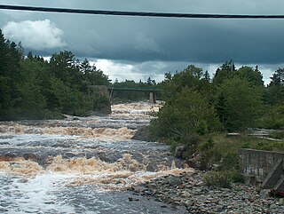
Sheet Harbour is a rural community on the Eastern Shore of Nova Scotia, Canada. It is part of the Halifax Regional Municipality and lies along the Marine Drive on Trunk 7 approximately 117 km (73 mi) northeast of Halifax. The community is located along the shores of Sheet Harbour, which has two arms, the Northwest Arm and the Northeast Arm. Two rivers flow into the harbour: West River into the Northwest Arm, and East River into the Northeast Arm. Grand Lake, a large lake west of Sheet Harbour, empties into the Northwest Arm via Little West River, a minor river. The majority of the land was granted in 1773 and a colony was established in 1784 by Loyalist refugees and British veterans of the American Revolution. Forestry was prominent in Sheet Harbour during its early years. The first sulphide pulp mill in the Dominion of Canada was constructed along the East River in 1885. It was closed in 1891, due to the high prices of importing sulphide. Another pulp mill was constructed beside the West River Falls in 1925, but it was destroyed by Hurricane Beth in August 1971. The economy of the community today relies on forestry, fishing and tourism. Southwest of the community is the Sheet Harbour Industrial Port, an important regional deep-water port.
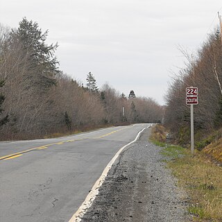
Route 224 is a collector road in the Canadian province of Nova Scotia. It is located in the Halifax Regional Municipality and Colchester County, connecting Sheet Harbour at Trunk 7 with Milford Station at Exit 9 of Highway 102 and Trunk 14. The route passes through the upper half of the Musquodoboit Valley.
Route 289 is a collector road in the Canadian province of Nova Scotia.
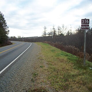
Route 316 is a collector road in the Canadian province of Nova Scotia. It is located in Antigonish County and Guysborough County, connecting Lower South River at Highway 104 with Half Island Cove at Trunk 16.
Route 344 is a collector road in the Canadian province of Nova Scotia.
Route 348 is a collector road in the Canadian province of Nova Scotia.

Hammonds Plains, Upper Sackville and Beaver Bank is a planning area in the Halifax Regional Municipality, Nova Scotia. The area wraps from Exit 5 on Highway 103 to the west of the urban core of Halifax, and runs north and east, wrapping clockwise around the harbour along the Hammonds Plains Road, Lucasville Road and Sackville Drive, through Upper Sackville to Beaverbank.

Port Bickerton is a small community in the Canadian province of Nova Scotia, located in the Municipality of the District of Saint Mary's in Guysborough County.
The Stormont II is a cable ferry operating in the Canadian province of Nova Scotia.

Isaac's Harbour North is a community in the Canadian province of Nova Scotia, located in the Municipality of the District of Guysborough in Guysborough County.


