Chacra, Colorado | |
|---|---|
 The Colorado River, Interstate 70, and Chacra. | |
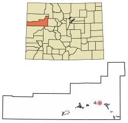 Location of the Chacra CDP in Garfield County, Colorado. | |
 Chacra Location of Chacra, Colorado.  Chacra Chacra (Colorado) | |
| Coordinates: 39°34′31″N107°26′48″W / 39.5753°N 107.4467°W [1] | |
| Country | United States |
| State | Colorado |
| County | Garfield [2] |
| Government | |
| • Type | unincorporated community |
| • Body | Garfield County [2] |
| Area | |
• Total | 0.984 sq mi (2.549 km2) |
| • Land | 0.946 sq mi (2.450 km2) |
| • Water | 0.038 sq mi (0.099 km2) |
| Elevation | 5,633 ft (1,717 m) |
| Population | |
• Total | 331 |
| • Density | 350/sq mi (135/km2) |
| Time zone | UTC−07:00 (MST) |
| • Summer (DST) | UTC−06:00 (MDT) |
| ZIP code [5] | Glenwood Springs 81601 |
| Area codes | 970/748 |
| GNIS pop ID | 174067 |
| GNIS CDP ID | 2583222 |
| FIPS code | 08-12945 |
Chacra is an unincorporated community and a census-designated place (CDP) located in Garfield County, Colorado, United States. The unincorporated community is a part of the Rifle, CO Micropolitan Statistical Area and the Edwards-Rifle, CO Combined Statistical Area. The population of the Chacra CDP was 331 at the United States Census 2020. [4]
