Route 480 or Highway 480 may refer to:
| Preceded by 479 | Lists of highways 480 | Succeeded by 481 |

Interstate 280 (I-280) is a 57.22-mile-long (92.09 km) major north–south auxiliary Interstate Highway in the San Francisco Bay Area of Northern California. It runs from I-680 and US Route 101 (US 101) in San Jose to King and 5th streets in San Francisco, running just to the west of the larger cities of San Francisco Peninsula for most of its route.
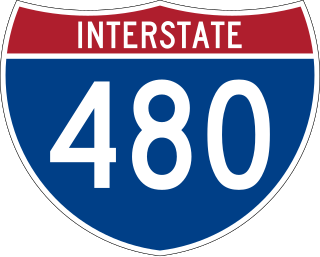
Interstate 480 (I-480) is a 4.9-mile-long (7.9 km) auxiliary Interstate Highway that connects I-80 in Downtown Omaha, Nebraska, with I-29 in Council Bluffs, Iowa. The portion of I-480 in Nebraska has been named the Gerald R. Ford Expressway, named in honor of the former president, who was a native of Omaha. For most of its length, I-480 is overlapped by a US Highway; for two miles (3.2 km) with US Highway 75 (US 75) and for one mile (1.6 km) with US 6. I-480 includes the Grenville Dodge Memorial Bridge over the Missouri River.
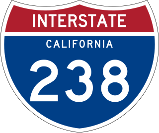
Route 238, consisting of State Route 238 (SR 238) and Interstate 238 (I-238), is a mostly north–south state and auxiliary Interstate highway in the San Francisco Bay Area of California. The southern segment is signed as SR 238 and is a divided multilane surface highway that runs parallel to the Hayward hills between I-680 in Fremont and I-580 in Castro Valley. The northern segment is signed as I-238 and is a six-lane freeway that runs more east–west between I-580 and I-880 in San Leandro.

Interstate 271 (I-271) is an auxiliary Interstate Highway in the suburbs of Cleveland and Akron in the US state of Ohio. The highway is officially designated the Outerbelt East Freeway but is rarely referred to by that name by locals, instead simply referring to it as "271".
Interstate 480 (I-480) is a 41.77-mile-long (67.22 km) auxiliary Interstate Highway of I-80 in the US state of Ohio that passes through much of the Greater Cleveland area, including the southern parts of the city of Cleveland. I-480 is one of 13 auxiliary Interstate Highways in the state. The western terminus of I-480 is an interchange with I-80 and the Ohio Turnpike in North Ridgeville. Starting east through suburban Lorain County, I-480 enters Cuyahoga County, then approaches Cleveland Hopkins International Airport, which serves as the primary airport for Northeast Ohio. After traversing Brooklyn and crossing the Cuyahoga River on the Valley View Bridge, the highway continues east toward the communities of Bedford and Twinsburg toward its eastern terminus at I-80 and the Ohio Turnpike in Streetsboro. On its route, I-480 crosses I-71 and I-77 and is concurrent with I-271 for approximately four miles (6.4 km). In 1998, the governor of Ohio, George Voinovich, gave I-480 the additional name of the "Senator John Glenn Highway", in honor of the former NASA astronaut and US senator from Ohio for 24 years.

A bypass is a road or highway that avoids or "bypasses" a built-up area, town, or village, to let through traffic flow without interference from local traffic, to reduce congestion in the built-up area, and to improve road safety. A bypass specifically designated for trucks may be called a truck route.
The Gerald R. Ford Freeway refers to Interstate Highways named for former President Gerald R. Ford in Omaha and Michigan :

U.S. Route 75 is a part of the United States Numbered Highway System that runs for 1,239 miles (1,994 km) from Dallas, Texas to Kittson County, Minnesota where it ends just short of the Canada–United States border. Within the State of Nebraska it is a state highway that enters Nebraska on the Kansas state line about 9 miles (14 km) south of Dawson and travels north across the extreme eastern portion of the state, to the Nebraska–Iowa border in South Sioux City where it crosses the Missouri River along a concurrency with Interstate 129. The northern 210 miles (340 km) of the route generally travels parallel to the Missouri River. The 87.32-mile (140.53 km) section between the I-680 interchange in Omaha and the Interstate 129 interchange is designated the Lewis & Clark Scenic Byway, one of nine scenic byways in the state.
Cleveland Bypass may refer to a number of highways in the United States: