The following highways are numbered 470:
| Preceded by 469 | Lists of highways 470 | Succeeded by 471 |
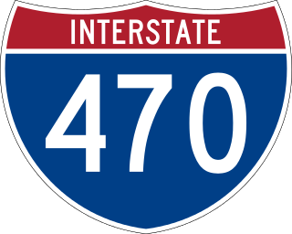
Interstate 470 (I-470) is a 16.72-mile (26.91 km) loop of the Interstate Highway System that serves to link southeast Kansas City to Independence via Lee's Summit in Jackson County, Missouri. The western terminus of the freeway is at the Grandview Triangle interchange with I-49, I-435, U.S. Route 50 (US 50), and US 71 while the northern terminus is a cloverleaf interchange with I-70. The freeway travels west to east through southern Kansas City, curving toward the north at the Lee's Summit Municipal Airport and becoming concurrent with Route 291 as the highway travels north toward Independence.
Interstate 470 (I-470) is a 10.63-mile-long (17.11 km) auxiliary Interstate Highway of I-70 that bypasses the city of Wheeling, West Virginia, United States. I-470 is one of 13 auxiliary Interstate Highways in Ohio and the only auxiliary Interstate Highway in West Virginia. The western terminus of I-470 is an interchange with I-70 in Richland Township, Ohio. Traveling southeast through rural Belmont County, I-470 approaches the Vietnam Veterans Memorial Bridge, which spans the Ohio River. After crossing the river into Ohio County, West Virginia, the highway continues east toward the Wheeling communities of Bethlehem and Elm Grove and its eastern terminus at I-70 near Elm Grove. The portion of the highway in West Virginia is named the USS West Virginia Memorial Highway by proclamation of then-Governor Cecil H. Underwood on the 59th anniversary of the attack on Pearl Harbor.
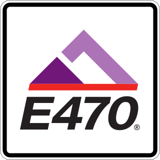
E-470 is a 47-mile-long (76 km) controlled-access toll road that traverses the eastern portion of the Denver metropolitan area in the US state of Colorado. It is the eastern half of the 470 beltway that serves Meridian, Parker, Aurora, Denver International Airport, and Brighton.

State Route 139 is a state highway in the U.S. state of California. Running from SR 36 in Susanville north to Oregon Route 39 at the Oregon state line, it forms part of the shortest route between Reno, Nevada, and Klamath Falls, Oregon. SR 139 cuts through much of Modoc National Forest and passes near Antelope Mountain and Tule Lake. North of SR 299 near Canby, SR 139 was built by the federal government and turned over to the state in about 1940; the remainder was built by a joint highway district of Lassen and Modoc Counties, completed in 1956, and given to the state in 1959.
C road may refer to:

U.S. Route 366 or US 366 was the designation of two child routes of the former U.S. Route 66 in New Mexico and Texas during the late 1920s and 1930s. Both alignments of US 366 were original U.S. Routes created in 1927. The first alignment was a route from El Paso, Texas to Amarillo, Texas crossing through New Mexico that existed until 1932. The second was a route from Albuquerque to Willard that was previously designated U.S. Route 470 before 1932. That alignment was canceled in 1939.