Contents
The following highways are numbered 374:
The following highways are numbered 374:
| Preceded by 373 | Lists of highways 374 | Succeeded by 375 |

Interstate 780 (I-780) is an east–west auxiliary Interstate Highway in the San Francisco Bay Area of Northern California. It runs from Curtola Parkway and Lemon Street in Vallejo to I-680 just north of the Benicia–Martinez Bridge in Benicia. It closely parallels the Carquinez Strait for its entire route. Originally, this segment was part of I-680 before that Interstate was extended and rerouted to Fairfield. The city-maintained Curtola Parkway continues west from I-80 to State Route 29 (SR 29) in Vallejo.

Interstate 680 (I-680) is a north–south auxiliary Interstate Highway in Northern California. It curves around the eastern cities of the San Francisco Bay Area from San Jose to I-80 at Fairfield, bypassing cities along the eastern shore of San Francisco Bay such as Oakland and Richmond while serving others more inland such as Pleasanton and Concord.

State Route 139 is a state highway in the U.S. state of California. Running from SR 36 in Susanville north to Oregon Route 39 at the Oregon state line, it forms part of the shortest route between Reno, Nevada, and Klamath Falls, Oregon. SR 139 cuts through much of Modoc National Forest and passes near Antelope Mountain and Tule Lake. North of SR 299 near Canby, SR 139 was built by the federal government and turned over to the state in about 1940; the remainder was built by a joint highway district of Lassen and Modoc Counties, completed in 1956, and given to the state in 1959.
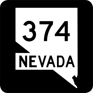
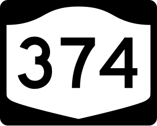
State Route 374 is a state highway in Nye County, Nevada, United States. It serves as Nevada's gateway to Death Valley National Park, connecting the park to Beatty. The highway was known as State Route 58 prior to 1976.
New York State Route 374 (NY 374) is a state highway in the North Country of New York in the United States. The route follows a generally northwest to southeast progression; however, the portion of the route within Franklin County runs north–south and is signed in the same manner. The western terminus of NY 374 is at a junction with U.S. Route 11 in the village of Chateaugay. Its eastern terminus is at an intersection with NY 22 north of the city of Plattsburgh.

New York State Route 190 (NY 190) is a 31.84-mile-long (51.24 km) east–west state highway in the North Country of New York in the United States. The western terminus of the route is at an intersection with NY 374 in the community of Brainardsville within the town of Bellmont. Its eastern terminus is at a junction with NY 3 west of the city of Plattsburgh. The portion of NY 190 in Clinton County east of Ellenburg is known as the Military Turnpike.

Maryland Route 374 is a state highway in the U.S. state of Maryland. Known for much of its length as Libertytown Road, the state highway runs 9.98 miles (16.06 km) from MD 354 in Powellville east to MD 818 in Berlin. MD 374 was constructed between Berlin and Libertytown around 1930. The portion between Powellville and Libertytown was completed in the mid-1950s.
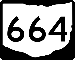
State Route 664 is a north–south state highway in the southern portion of the U.S. state of Ohio. The highway has its southern terminus at a T-intersection with SR 56 in the unincorporated community of South Bloomingville. The northern terminus of SR 664 is also at a T-intersection, this time with SR 256 on the Fairfield–Perry county line approximately 4.75 miles (7.64 km) north of the village of Rushville.
Pennsylvania Route 374 (PA 374) is a 17.7-mile-long (28.5 km) state highway located in Susquehanna County, Pennsylvania. The western terminus is at PA 92 in the community of Glenwood in Lenox Township. The eastern terminus is at PA 171 and PA 371 in the community of Herrick Center near Union Dale in Herrick Township. The route is a two-lane undivided road that passes through rural areas of farms and woods in southern Susquehanna County. PA 374 intersects PA 407 and Interstate 81 (I-81) in Lenox Township and forms a concurrency with PA 106 in Clifford Township.