
Cotia is a municipality in the state of São Paulo in Brazil. It is part of the Metropolitan Region of São Paulo. The population is 253,608 in an area of 323.99 km². The city is at an elevation of 853 m. Cotia is linked with the Rodovia Raposo Tavares highway.
Interstate 80 (I-80) is a transcontinental Interstate Highway in the United States, stretching from San Francisco, California, to Teaneck, New Jersey. In Indiana, it consists entirely of the following two highways:

Pennsylvania Route 117 is a 12.6-mile-long (20.3 km) state route in Lebanon County, Pennsylvania. Its southern terminus is at an interchange with U.S. Route 322 /PA 72 in Cornwall. Its northern terminus is at US 422 in Palmyra. PA 117 heads west from US 322/PA 72 through forested areas, passing through Mount Gretna before forming a short concurrency with PA 241 in Colebrook. From here, the route heads northwest and intersects US 322 near Campbelltown.

USS LST-853 was an LST-542-class tank landing ship in the United States Navy during World War II. Later in her U.S. Navy career she was renamed Kane County (LST-853)—after counties in Illinois and Utah—but never saw active service under that name.

Olhos-d'Água is a Brazilian municipality located in the north of the state of Minas Gerais. Its population as of 2020 was 6,171 people living in a total area of 2,086 km2. The city belongs to the mesoregion of North of Minas and to the microregion of Bocaiúva. It became a municipality in 1997.

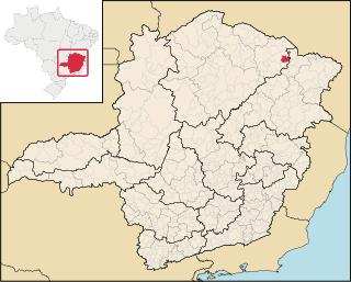
Itinga is a Brazilian municipality located in the northeast of the state of Minas Gerais. As of 2020 the population was 15,022 in a total area of 1,641 km².
Natalância is a municipality in the north of the Brazilian state of Minas Gerais. As of 2020, the estimated population was 3,308 in a total area of 471 km2.
Curral de Dentro is a municipality in the northeast of the Brazilian state of Minas Gerais. As of 2020 the population was 7,799 in a total area of 571 km2. The elevation is 890 meters. It became a municipality in 1997.
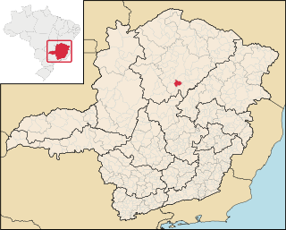
Engenheiro Navarro is a Brazilian municipality located in the north of the state of Minas Gerais. Its population as of 2020 was 7,241 people living in a total area of 632 km². The city belongs to the mesoregion of North of Minas and to the microregion of Bocaiúva. It became a municipality in 1962.

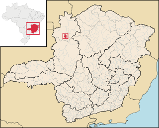
Francisco Dumont is a Brazilian municipality located in the north of the state of Minas Gerais. Its population as of 2020 was 5,242 people living in a total area of 1,553 km². The city belongs to the mesoregion of North of Minas and to the microregion of Bocaiúva. It became a municipality in 1962.
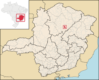
Guaraciama is a Brazilian municipality located in the north of the state of Minas Gerais. Its population as of 2020 was 4,989 people living in a total area of 392 km2. The city belongs to the mesoregion of North of Minas and to the microregion of Bocaiúva. It became a municipality in 1997.
Zlatarić is a surname. Notable people with the surname include:
King's Highway 109, or Highway 109, is a former provincial highway in Ontario. It was used on two separate, unrelated routes during the 1950s and 1960s:
Ontario Highway 5A (1937–1953), as a former Connecting Link in the Ontario Provincial Highway Network, bypassed portions of Ontario Highway 5 within what is now Toronto. There were two discontinuous segments:
Secondary Highway 500, commonly referred to as Highway 500, was a secondary highway in the Canadian province of Ontario which was first designated in 1956. Its route was renumbered in 1964, becoming:
Secondary Highway 514, commonly referred to as Highway 514, was a secondary highway in the Canadian province of Ontario. It was used on two separate routes from the 1950s to the 1990s:
This page is based on this
Wikipedia article Text is available under the
CC BY-SA 4.0 license; additional terms may apply.
Images, videos and audio are available under their respective licenses.