The following highways are numbered 894:
The following highways are numbered 894:
| Preceded by 893 | Lists of highways 894 | Succeeded by 895 |

Interstate 94 (I-94) is an east–west Interstate Highway connecting the Great Lakes and northern Great Plains regions of the United States. Its western terminus is just east of Billings, Montana, at a junction with I-90; its eastern terminus is in Port Huron, Michigan, where it meets with I-69 and crosses the Blue Water Bridge into Sarnia, Ontario, Canada, where the route becomes Ontario Highway 402. It thus lies along the primary overland route from Seattle to Toronto and is the only east–west Interstate Highway to have a direct connection to Canada.

Interstate 43 (I-43) is a 191.55-mile-long (308.27 km) Interstate Highway located entirely within the US state of Wisconsin, connecting I-39/I-90 in Beloit with Milwaukee and I-41, U.S. Highway 41 (US 41) and US 141 in Green Bay. State Trunk Highway 32 (WIS 32) runs concurrently with I-43 in two sections and I-94, I-894, US 10, US 41, US 45, and WIS 57 overlap I-43 once each. There are no auxiliary or business routes connected to I-43, though an alternate route to direct traffic during road closures is signed along local and state highways from Milwaukee County north into Brown County.

U.S. Route 45 is a major north-south United States highway and a border-to-border route, from Lake Superior to the Gulf of Mexico. A sign at the highway's northern terminus notes the total distance as 1,297 miles (2,087 km).

Interstate 894 (I-894) is a 9.92-mile (15.96 km) auxiliary Interstate Highway in Milwaukee County in the US state of Wisconsin. The route serves as a bypass of downtown Milwaukee, connecting with I-94 at the Zoo Interchange west of downtown and the Mitchell Interchange south of downtown. The route runs concurrently with three other highways for its duration, following US Highway 45 (US 45) from the Zoo Interchange to Hale Interchange as the Zoo Freeway, where it separates from US 45 to follow I-43 heading east to the Mitchell Interchange as the Airport Freeway. In local traffic reporting and casual conversation, it is known simply as "the bypass" or "894", with "41" also being more recently used, as I-894 is entirely concurrent with I-41/US 41. The east–west portion is also concurrent with I-43.
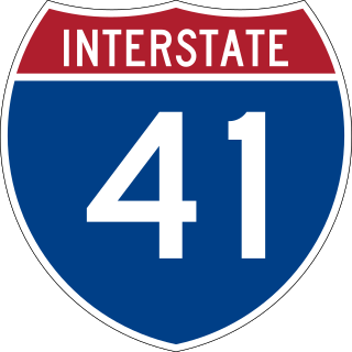
Interstate 41 (I-41) is a 175.00-mile-long (281.64 km) north–south Interstate Highway connecting the interchange of I-94 and U.S. Route 41 (US 41), located 2.50 miles (4.02 km) south of the Wisconsin–Illinois border at the end of the Tri-State Tollway in metropolitan Chicago, to an interchange with I-43 in metropolitan Green Bay, Wisconsin. The designation travels concurrently with US 41 for its entire length, as well as portions of I-894, US 45, I-43, and sections of I-94 in Wisconsin and Illinois. The route was officially added to the Interstate Highway System on April 7, 2015, and connects Milwaukee and Green Bay with the Fox Cities.

Interstate 794 is a 3.75-mile (6.04 km) auxiliary Interstate Highway in Milwaukee County in the US state of Wisconsin. It is one of two auxiliary Interstates in the Milwaukee metropolitan area, serves the lakefront and the Port of Milwaukee, and connects downtown with the southeastern suburbs of St. Francis, Cudahy, and South Milwaukee.
Svatopluk or Svätopluk is a Slavic given name. It may refer to:
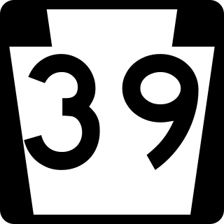
Pennsylvania Route 39 (PA 39) is a 17.83-mile-long (28.69 km) state highway located in Dauphin County, Pennsylvania, United States. PA 39 runs from North Front Street near Harrisburg east to U.S. Route 322 (US 322) and US 422 near Hummelstown and Hershey. The route passes through the northern and eastern suburbs of Harrisburg and passes by Hersheypark, Giant Center, as well as the primary production factory for The Hershey Company. Between Harrisburg and Manada Hill, it is known as Linglestown Road, from Manada Hill to Hershey as Hershey Road and from Hershey to near Hummelstown and Hershey as Hersheypark Drive. Prior to the establishment of PA 39 in 1937, PA 39, had previously been designated as a route in northeastern Pennsylvania during the 1920s. That designation was deleted when it was renumbered US 11. As a result, PA 39 is one of a few routes which has a set of child routes which are no where near the primary route.

State Trunk Highway 794, officially the John R. Plewa Memorial Lake Parkway or simply the Lake Parkway, is a 4.76-mile (7.66 km) state highway in Milwaukee County, Wisconsin, United States, that goes north–south from downtown Milwaukee to its southern suburbs.

State Route 894 (SR 894), also known as Shoshone Road, is a state highway in southeastern White Pine County, Nevada, United States.
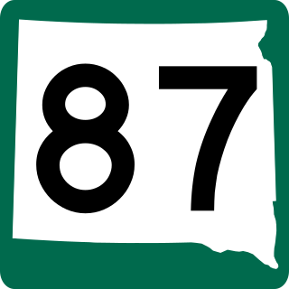
South Dakota Highway 87 (SD 87) is a 37.894-mile-long (60.984 km) state highway in the southwestern part of the U.S. state of South Dakota. It travels through the Black Hills region. The highway's southern terminus is at an intersection with U.S. Route 385 (US 385), about 6 miles (9.7 km) southeast of Pringle, within the southwestern part of Wind Cave National Park. Its northern terminus is at an intersection with US 16/US 385 about 3 miles (4.8 km) south-southwest of Hill City, within the east-central part of the Black Hills National Forest.
U.S. Highway 45 runs north–south through the eastern and northern portions of the state of Wisconsin. Also called Highway 45, it runs from the state line with Illinois near the village of Bristol in Kenosha County to the Michigan state line at the town of Land O' Lakes in Vilas County, a total of about 305 miles (491 km).

The Rural Municipality of Porcupine No. 395 is a rural municipality (RM) in the Canadian province of Saskatchewan within Census Division No. 14 and SARM Division No. 4. It is located in the northeast-central portion of the province.

State Highway 165 is a 36.894-mile (59.375 km) state highway in southern Colorado. SH 165's western terminus is at SH 96 east of Silver Cliff, and the eastern terminus is at Interstate 25 (I-25), U.S. Route 85 (US 85) and US 87 near Colorado City.
King's Highway 109, or Highway 109, is a former provincial highway in Ontario. It was used on two separate, unrelated routes during the 1950s and 1960s:
Ontario Highway 5A (1937–1953), as a former Connecting Link in the Ontario Provincial Highway Network, bypassed portions of Ontario Highway 5 within what is now Toronto. There were two discontinuous segments:
Secondary Highway 500, commonly referred to as Highway 500, was a secondary highway in the Canadian province of Ontario which was first designated in 1956. Its route was renumbered in 1964, becoming:
The Hale Interchange is the major interchange between Interstate 41 (I-41), I-43, I-894, US Highway 41 (US 41), and US 45 in the Milwaukee, Wisconsin, southwest suburb of Greenfield, though it takes it name from the nearby community of Hales Corners.
Zhang Zhao may refer to:
Secondary Highway 514, commonly referred to as Highway 514, was a secondary highway in the Canadian province of Ontario. It was used on two separate routes from the 1950s to the 1990s: