Route 607 or Highway 607 may refer to:
| Preceded by 606 | Lists of highways 607 | Succeeded by 608 |
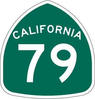
State Route 79 (SR 79) is an approximately 106-mile (171 km) north-south state highway in the U.S. state of California. The highway's southern terminus is at Interstate 8 (I-8) at the Descanso Junction in San Diego County. Its northern terminus is at Interstate 10 (I-10) in the city of Beaumont in Riverside County. In San Diego County, SR 79 connects with Lake Cuyamaca and Cuyamaca Rancho State Park, the communities of Julian and Warner Springs. In Riverside County, the highway runs through the cities of Temecula, Murrieta, Hemet, and San Jacinto before reaching Beaumont.
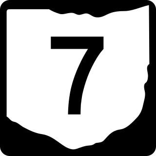
State Route 7 (SR 7), formerly known as Inter-county Highway 7 until 1921 and State Highway 7 in 1922, is a north–south state highway in the southern and eastern portions of the U.S. state of Ohio. At about 336 miles (541 km) in length, it is the longest state route in Ohio. Its southern terminus is an interchange with U.S. Route 52 (US 52) just west of Chesapeake. Its northern terminus also serves as the eastern terminus of SR 531 in Conneaut. The path of SR 7 stays within five miles (8.0 km) of the Ohio River for the southern portion, with the river being visible from much of the route. The road also remains within 10 miles (16 km) of the Pennsylvania state line for the northern portion.
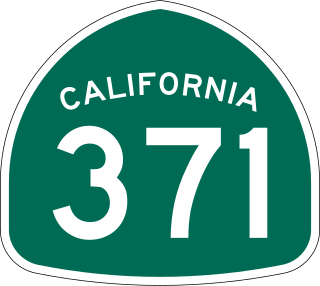
State Route 371 is a state highway in Riverside County, California, serving as a 20.75-mile (33.39 km) connector from SR 79 near Aguanga to SR 74 near Anza. The highway crosses through the private community of Lake Riverside, as well as Cahuilla and the Cahuilla Indian Reservation. It is the primary road running through Anza but mostly serves rural areas.

State Route 30 is a primary state highway in the U.S. state of Virginia. The state highway runs 61.87 miles (99.57 km) from U.S. Route 1 in Doswell east to Interstate 64 (I-64) and SR 607 near Norge. SR 30 runs east–west through Hanover and Caroline Counties, connecting US 1 and I-95 with the Kings Dominion amusement park and US 301. The state highway serves as the principal highway of King William County, connecting U.S. Route 360 with SR 33 in West Point via the county's namesake county seat. SR 30 also connects SR 33 and US 60 in New Kent and James City Counties.
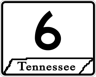
State Route 6 (SR 6) is a state highway that is unsigned. It travels through the central part of the U.S. state of Tennessee from Lawrence County to Sumner County. The highway is related to the following U.S. Highways:
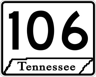
State Route 106 is a north–south state highway in Middle Tennessee. The highway is a secret, or hidden, designation for the following highways: