
Interstate 680 (I-680) is a north–south auxiliary Interstate Highway in Northern California. It curves around the eastern cities of the San Francisco Bay Area from San Jose to I-80 at Fairfield, bypassing cities along the eastern shore of San Francisco Bay such as Oakland and Richmond while serving others more inland such as Pleasanton and Concord.

State Route 3 is a state highway in the U.S. state of California that serves Trinity and Siskiyou counties. It runs from SR 36 north along the shore of Trinity Lake, Fort Jones and Etna. The route then approaches Yreka, intersecting with Interstate 5 (I-5), and turns east to Montague. The road was numbered SR 3 in 1964, and most of it has been part of the state highway system since 1933.

State Route 41 is a state highway in the U.S. State of California, connecting the Central Coast with the San Joaquin Valley and the Sierra Nevada. Its southern terminus is at the Cabrillo Highway in Morro Bay, and its northern terminus is at SR 140 in Yosemite National Park. It has been constructed as an expressway from near SR 198 in Lemoore north to the south part of Fresno, where the Yosemite Freeway begins, passing along the east side of downtown and extending north into Madera County.

State Route 142, also known as Carbon Canyon Road for most of its length, is a state highway in the U.S. state of California that connects Brea in Orange County with Chino Hills in San Bernardino County. The eastern portion of the route is known as Chino Hills Parkway.
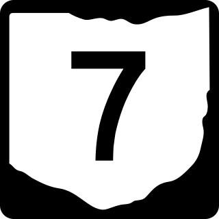
State Route 7 (SR 7), formerly known as Inter-county Highway 7 until 1921 and State Highway 7 in 1922, is a north–south state highway in the southern and eastern portions of the U.S. state of Ohio. At about 336 miles (541 km) in length, it is the longest state route in Ohio. Its southern terminus is an interchange with U.S. Route 52 (US 52) just west of Chesapeake. Its northern terminus also serves as the eastern terminus of SR 531 in Conneaut. The path of SR 7 stays within five miles (8.0 km) of the Ohio River for the southern portion, with the river being visible from much of the route. The road also remains within 10 miles (16 km) of the Pennsylvania state line for the northern portion.
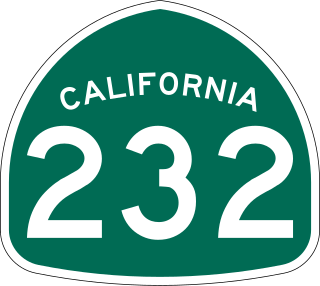
State Route 232 is a state highway in the U.S. state of California that runs along Vineyard Avenue in Ventura County, serving as a connector between US 101 in Oxnard and SR 118 near Saticoy.
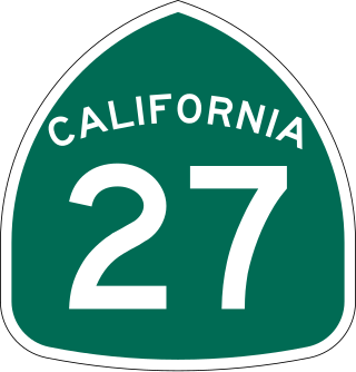
State Route 27, commonly known by its street name Topanga Canyon Boulevard, is a state highway in the U.S. state of California that runs from the Pacific Coast Highway at Topanga State Beach near Pacific Palisades, through the Topanga Canyon in Topanga, and continuing through Woodland Hills, Canoga Park, West Hills, and Chatsworth to the Ronald Reagan Freeway.
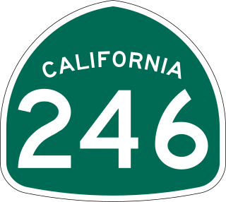
State Route 246 is a state highway in the U.S. state of California that runs from Lompoc east to Solvang and Santa Ynez, cutting through the Santa Ynez Valley and the Santa Barbara Wine Country. Its western terminus is at the western city limits of Lompoc, and its eastern terminus is at State Route 154 near Santa Ynez.

State Route 98 is a state highway in the U.S. state of California. It is a loop of Interstate 8 (I-8) running west to east south of the Interstate through the border city of Calexico. It passes through the city of Calexico and ends east of Holtville. The highway was added to the state highway system in 1933, and signed as Route 98 by 1938. The highway was paved and rerouted to its current path during the 1950s.

State Route 127 is a state highway in the U.S. state of California that connects Interstate 15 in Baker to Nevada State Route 373 at the Nevada state line, passing near the eastern boundary of Death Valley National Park. The entire length of the highway closely follows the central portion of the former Tonopah and Tidewater Railroad and loosely follows the Amargosa River.

State Route 174 is a state highway in the U.S. state of California. The two-lane 13-mile (21 km) highway in the western Sierra Nevada, added to the state highway system in 1933, connects Interstate 80 in Colfax with SR 20/SR 49 in Grass Valley, crossing the Bear River next to a 1924 concrete arch bridge. The majority of the route is eligible for the State Scenic Highway System, but local residents have blocked its designation due to property right concerns.
State Route 229 is a state highway in Elko County, Nevada, United States. It is a routing from Interstate 80 around Halleck, heading south through Secret Pass, to where it meets Ruby Valley Road. From there it heads northeast to U.S. Route 93.

State Route 767 is a short state highway in the Ruby Valley region of Elko County, Nevada. It follows a portion of Ruby Valley Road.
State Route 767 is a north–south state highway in the eastern portion of the U.S. state of Ohio. Currently, it is signed as an alternate route of SR 7. Its southern terminus is at an exit ramp on SR 7 in Bridgeport. The route serves as a connector from northbound SR 7 to SR 7 Alternate, US 40, and US 250. The route's northern terminus is where these U.S. routes overlap eastbound to cross the Ohio River into West Virginia. SR 7A serves as a connector for all of these routes to I-70.
State Route 6 (SR 6) is a state highway that is unsigned. It travels through the central part of the U.S. state of Tennessee from Lawrence County to Sumner County. The highway is related to the following U.S. Highways:
This page is based on this
Wikipedia article Text is available under the
CC BY-SA 4.0 license; additional terms may apply.
Images, videos and audio are available under their respective licenses.