The following highways are numbered 605:
| Preceded by 604 | Lists of highways 605 | Succeeded by 606 |
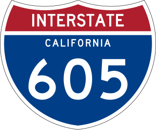
Interstate 605 is a 27-mile-long (43 km) major north–south auxiliary Interstate Highway in the Greater Los Angeles urban area of Southern California. It runs from I-405 and State Route 22 (SR 22) in Seal Beach to I-210 in Duarte. The San Gabriel River Freeway closely parallels the San Gabriel River for most of its alignment, hence its name, which is one of the few Southern California freeways not named after a city along its route.
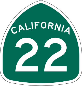
State Route 22 is an east–west state highway in the U.S. state of California that serves southern Los Angeles County and northern Orange County. It runs between Pacific Coast Highway in Long Beach and the Costa Mesa Freeway in Orange by way of Garden Grove. The westernmost part of SR 22 runs along Long Beach's 7th Street. From West Garden Grove to its eastern terminus in Orange, it is known as the Garden Grove Freeway. It is one of the two principal east–west routes in Orange County.
The state highway system of the U.S. state of California is a network of highways that are owned and maintained by the California Department of Transportation (Caltrans).

Interstate 105 (I-105) is an east–west auxiliary Interstate Highway in the Greater Los Angeles urban area of Southern California. It runs from State Route 1 (SR 1) near El Segundo and Los Angeles International Airport (LAX) to I-605 in the City of Norwalk. It is commonly known as the Century Freeway after Century Boulevard which it parallels, and also officially known as the Glenn Anderson Freeway after the late congressman Glenn M. Anderson who advocated for its construction.

State Route 60 (SR 60) is an east–west state highway in the U.S. state of California. It serves the cities and communities on the eastern side of the Los Angeles metropolitan area and runs along the south side of the San Gabriel Valley. It functions as a bypass route of Interstate 10 (I-10) through the area between the East Los Angeles Interchange in Los Angeles and Beaumont. SR 60 provides a route across several spurs of the Peninsular Ranges, linking the Los Angeles Basin with the Pomona Valley and San Gabriel Valley. The highway also runs concurrently with SR 57 and I-215. Portions of SR 60 are designated as either the Pomona Freeway or the Moreno Valley Freeway.
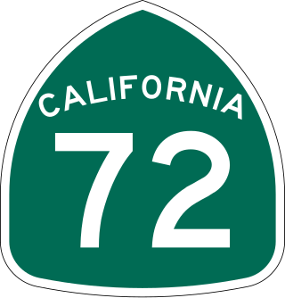
State Route 72 is a state highway in the U.S. state of California. The route runs along Whittier Boulevard in the Los Angeles area from SR 39 in La Habra to Interstate 605 in Whittier. SR 72 forms part of El Camino Real.

The Foothill Freeway is a freeway in the Los Angeles metropolitan area, California, United States, running from the Sylmar district of Los Angeles east to Redlands. The western segment is signed as Interstate 210 (I-210) from its western end at I-5 to SR 57 in Glendora, while the eastern segment is signed as State Route 210 (SR 210) to its eastern terminus at I-10. Under the California Streets and Highways Code, the entire Foothill Freeway is legally referred to as Route 210.

Interstate 605 (I-605) is the popular moniker given to several proposals for a new auxiliary Interstate Highway bypassing I-5 and I-405 in the U.S. state of Washington. Proposals have been heard from since the 1960s, including highways connecting from I-5 all the way to the Canada–US border, and some just between I-5 and I-90. The Washington State Department of Transportation (WSDOT) has no projects designated I-605 at this time. However, some I-605 proposals have included State Route 18, which has been partially constructed as a freeway.

State Route 90 is a state highway in the U.S. state of California that consists of two unconnected pieces in Greater Los Angeles.

State Route 42 (SR 42) is a decommissioned state highway in the southern region part of the U.S. state of California, running along Manchester Avenue, Manchester Boulevard and Firestone Boulevard in Los Angeles and the cities south of it. In its final official routing that lasted from 1968 to 2000, SR 42 ran from State Route 1 west of Inglewood east to what was then a direct interchange with Interstate 5 in Norwalk. Though signed as SR 42, it was officially Route 105 until it was replaced by the parallel Interstate 105 on October 14, 1993. The entire route was deleted from the California Freeway and Expressway System in 2000, with the remaining portion of SR 42 being relinquished to local jurisdictions in that year. The direct interchange with I-5 was later demolished in 2013 in favor widening that portion of the Interstate. However, some SR 42 signs may still remain along the route.
Interstate 10 (I-10) is a transcontinental Interstate Highway in the United States, stretching from Santa Monica, California, to Jacksonville, Florida. The segment of I-10 in California, also known as the Pearl Harbor Memorial Highway, runs east from Santa Monica through Los Angeles, San Bernardino, and Palm Springs before crossing into the state of Arizona. In the Greater Los Angeles area, it is known as the Santa Monica and San Bernardino freeways, linked by a short concurrency on I-5 at the East Los Angeles Interchange. I-10 also has parts designated as the Rosa Parks and Sonny Bono Memorial freeways. Some parts were also formerly designated as the Christopher Columbus Transcontinental Highway. However, the California State Legislature removed this designation following the passage of a bill on August 31, 2022. I-10 is also known colloquially as "the 10" to Southern California residents .

State Route 35 is a primary state highway in the U.S. state of Virginia. The state highway runs 48.71 miles (78.39 km) from the North Carolina state line near Boykins, where the highway continues as North Carolina Highway 35, north to SR 605 and SR 622 in Templeton. SR 35 is the main north–south highway of Southampton County; the highway also connects U.S. Route 58 in Courtland with Interstate 95 (I-95) and US 301 at Templeton south of Petersburg.

Interstate 5 (I-5) is a major north–south route of the Interstate Highway System in the United States, stretching from the Mexican border at the San Ysidro crossing to the Canadian border near Blaine, Washington. The segment of I-5 in California runs 796.77 miles (1,282.28 km) across the length of the state from San Ysidro to the Oregon state line south of the Medford-Ashland metropolitan area. It is the longest interstate in California, and accounts for more than half of I-5's total length.