Marianna, Arkansas | |
|---|---|
 Clockwise, from top: Lee County Courthouse, Marianna Commercial Historic District, Lee County Historical Museum, and the General Robert E. Lee Monument in City Park | |
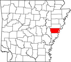
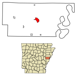 Location in Lee County, Arkansas | |
| Coordinates: 34°46′25″N90°45′27″W / 34.77361°N 90.75750°W [1] | |
| Country | United States |
| State | Arkansas |
| County | Lee |
| Area | |
• Total | 3.61 sq mi (9.36 km2) |
| • Land | 3.61 sq mi (9.36 km2) |
| • Water | 0.00 sq mi (0.00 km2) |
| Elevation | 230 ft (70 m) |
| Population (2020) | |
• Total | 3,575 |
• Estimate (2024) | 3,258 |
| • Density | 989.21/sq mi (381.90/km2) |
| Time zone | UTC-6 (Central (CST)) |
| • Summer (DST) | UTC-5 (CDT) |
| ZIP code | 72360 |
| Area code | 870 |
| FIPS code | 05-44120 |
| GNIS feature ID | 2405017 [1] |
Marianna is a town in and the county seat of Lee County, Arkansas, United States. [3] As of the 2010 census it had a population of 4,115, [4] but by 2018 the population had dropped to an estimated 3,477. [5]
Contents
- History
- Geography
- Climate
- Demographics
- 2020 census
- 2010 census
- Education
- Earthquake fault
- Infrastructure
- Utilities
- Notable people
- Notable businesses
- References
Located along the L'Anguille River in the Arkansas Delta just north of the St. Francis National Forest, the community was known as "Walnut Ridge" until 1852 when it became known as "Marianna". The town's economy has historically been based on agriculture, especially cotton production. The town is located along Crowley's Ridge Parkway and the Great River Road, both National Scenic Byways showcasing Crowley's Ridge and the Mississippi River.