Alpine, Colorado | |
|---|---|
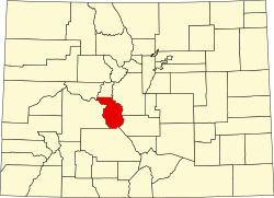
 Alpine Location of Alpine, Colorado.  Alpine Alpine (Colorado) | |
| Coordinates: 38°42′40″N106°16′37″W / 38.7111°N 106.2770°W [1] | |
| Country | United States |
| State | Colorado |
| County | Chaffee [2] |
| Government | |
| • Type | unincorporated community |
| • Body | Chaffee County [2] |
| Elevation | 9,269 ft (2,825 m) |
| Time zone | UTC−07:00 (MST) |
| • Summer (DST) | UTC−06:00 (MDT) |
| Area code | 719 |
| GNIS pop ID | 203899 |
Alpine is a small community, sometimes considered a ghost town, in Chaffee County, Colorado, United States. [3] It was founded as a mining town. The Alpine post office operated from October 26, 1874, until June 30, 1904. [4]