Axial, Colorado | |
|---|---|
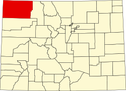
 Axial Location of Axial, Colorado.  Axial Axial (Colorado) | |
| Coordinates: 40°17′07″N107°47′31″W / 40.2853°N 107.7920°W [1] | |
| Country | United States |
| State | Colorado |
| County | Moffat [2] |
| Elevation | 6,454 ft (1,967 m) |
| Time zone | UTC−07:00 (MST) |
| • Summer (DST) | UTC−06:00 (MDT) |
| GNIS pop ID | 171423 |
Axial is an extinct coal mining town located in Moffat County, Colorado, United States. [1]