
Marlboro Township is a township in Monmouth County, New Jersey, United States. The township is located within the Raritan Valley region and is a part of the New York Metropolitan Area. As of the 2010 United States Census, the township had a population of 40,191, reflecting an increase of 5,449 (+16.3%) from the 33,423 counted in the 2000 Census, which had in turn increased by 6,707 (+25.1%) from the 26,716 counted in the 1990 Census.
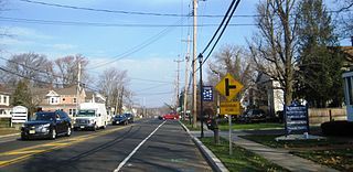
Marlboro is an unincorporated community located within Marlboro Township in Monmouth County, New Jersey, United States.

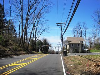
New Monmouth is an unincorporated community located within Middletown Township in Monmouth County, New Jersey, United States. The area is served as United States Postal Service ZIP code 07748.
Bradevelt is an unincorporated community located within the Morganville section of Marlboro Township, in Monmouth County, New Jersey, United States. County Route 520 travels through Bradevelt, while Route 79 is located west of the community. The area consists of a mix of businesses along the two main roads, farmland, and the remains of the Marlboro Psychiatric Hospital which is being converted to Big Brook Park. The former Monmouth County Agricultural Railroad runs north and south through Bradevelt. Early to mid 1800s the area was called Hulsetown.
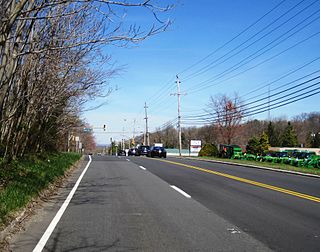
Beacon Hill is an unincorporated community located within Marlboro Township in Monmouth County, New Jersey, United States. The community is named for a nearby hill, in-turn named because it was a lookout point towards the Raritan Bay and beacons on the hill were used to warn residents of impending British troops in the American Revolutionary War. Located on the north face of the hill are housing developments and Marlboro Memorial Middle School. East of the summit, New Jersey Route 34 runs through the area through a commercial zone.

Hornerstown is an unincorporated community located within Upper Freehold Township in Monmouth County, New Jersey, United States. Hornerstown is located near Cream Ridge and uses the 08514 ZIP code.
Montrose is an unincorporated community located near the intersection of Dutch Lane Road and Boundary Road along the border of Colts Neck and Marlboro townships in Monmouth County, New Jersey, United States. The town was located in "Atlantic Township" at one time prior to the name being changed to "Colts Neck". Prior to being called Montrose, the area was called "Barrentown".

Spring Valley is an unincorporated community located within Marlboro Township in Monmouth County, New Jersey, United States. Located in the northern section of the township, the area is mainly forested with some businesses and cemeteries lining the main roads in the area, Spring Valley Road and Texas Road. U.S. Route 9, Route 18 and County Route 3 are major roads nearby Spring Valley.

Emleys Hill is an unincorporated community located within Upper Freehold Township in Monmouth County, New Jersey, United States. The settlement is located at the intersection of Emleys Hill Road and Burlington Path Road.

Burlington Heights is an unincorporated community located within Freehold Township in Monmouth County, New Jersey, United States. The community was created in the early 1960s and originally consisted of 112 homes of mixed styles designed by Peter Petillo and Associates of Freehold. It is located along Colts Neck Road on the east side of the township, near New Jersey Route 18 and the Colts Neck municipal line.

Claytons Corner is an unincorporated community located within Marlboro Township in Monmouth County, New Jersey, United States. The community is located along Gordons Corner Road near its intersections with Church Road and Robertsville Road and is completely suburban in nature as the area is part of houses in planned communities. The last remaining farm in Clayton's Corner belonged to the Yoncak family.

Ely is an unincorporated community located within Millstone Township in Monmouth County, New Jersey, United States. The settlement is named for the Ely family that owned property in the area and operated the Charleston Springs hotel. Today, the settlement is located along Stage Coach Road, County Route 524, in the eastern portion of the township. Most of the area consists of large single-family homes though some farmland and the township-owned Brandywine Soccer Complex are located in the near the settlement.

Green Grove is an unincorporated community located where the boundaries of Neptune Township, Ocean Township and Tinton Falls Borough intersect in Monmouth County, New Jersey, United States.

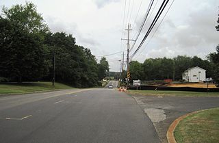
Henningers Mills or Henningers Mill is an unincorporated community located along the border of Aberdeen and Marlboro townships in Monmouth County, New Jersey, United States.
Hillsdale is an unincorporated community located within Colts Neck and Marlboro townships in Monmouth County, New Jersey, United States. The community is located at the intersection of County Route 520 which runs east and west, Conover Road which heads north, and Boundary Road which heads south. The southeastern quadrant of this intersection is a part of Colts Neck while the other three are in Marlboro. The community is located atop a small hill and is largely rural. The Colts Neck quadrant is made up of a housing development while the Marlboro side is mostly forests, parkland, and the remains of the Marlboro Psychiatric Hospital.

Kirbys Mills is an unincorporated community located within Upper Freehold Township in Monmouth County, New Jersey, United States. Centered near the intersection of Burlington Path Road and Holmes Mill Road, the area consists of housing developments and small farms.

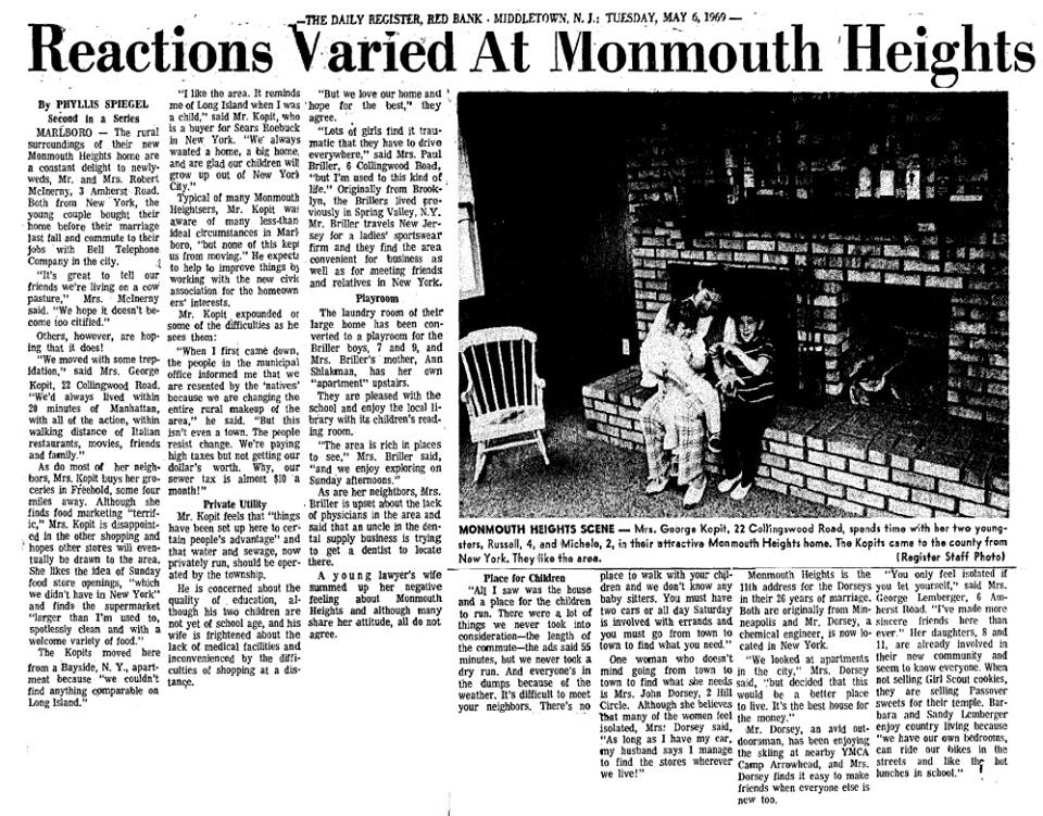
Monmouth Heights at Manalapan is an unincorporated community located within Manalapan Township in Monmouth County, New Jersey, United States. Levitt & Sons developed the Monmouth Heights section from 1965–1969. Residents of the 685 homes in the development are required to join the Monmouth Heights Community Association, which provides pools and other amenities.

Mount Pleasant is an unincorporated community located within Marlboro Township in Monmouth County, New Jersey, United States. It is named for a hill of the same name, one of the highest points in Marlboro Township. The settlement is located at the intersection of Reids Hill Road and Beacon Hill Road.

Oceanic is an unincorporated community located within Rumson in Monmouth County, New Jersey, United States. Located on the north side of the borough, Oceanic contains most of Rumson's commercial businesses mainly along Bingham Avenue and River Road. Bingham Avenue connects directly to the Oceanic Bridge over the Navesink River to the Middletown Township community of Locust Point.

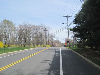
Smocks Corner or Smocks Corners is an unincorporated community located within Marlboro Township in Monmouth County, New Jersey, United States. Located at the intersection of Pleasant Valley Road and Conover Road, the area is mostly residences with some open space and farmland. It was called "Smocks Corner" because the Smock Family had houses in that area, both sides of the street back in the 1700s.


