Bovina, Colorado | |
|---|---|
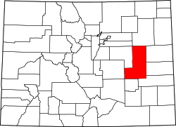
 Bovina Location of Bovina, Colorado.  Bovina Bovina (Colorado) | |
| Coordinates: 39°16′49″N103°23′07″W / 39.2803°N 103.3852°W [1] | |
| Country | United States |
| State | Colorado |
| County | Lincoln [2] |
| Founded | about 1886 [3] |
| Government | |
| • Type | unincorporated community |
| • Body | Lincoln County [2] |
| Elevation | 5,348 ft (1,630 m) |
| Time zone | UTC−07:00 (MST) |
| • Summer (DST) | UTC−06:00 (MDT) |
| ZIP Code | |
| Area code | 719 |
| GNIS pop ID | 195108 |
Bovina is an unincorporated community in Lincoln County, Colorado, United States. [1]