Research Triangle | ||
|---|---|---|
Representations of the Research Triangle (from top to bottom): skyline of Raleigh, skyline of Durham, and the Old Well in Chapel Hill | ||
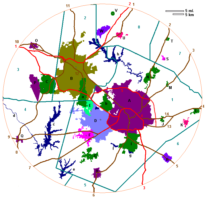
 Map of Raleigh–Durham–Cary, NC CSA
| ||
| Country | | |
| State | | |
| Largest city | Raleigh | |
| Other cities | Durham Chapel Hill Cary | |
| Area | ||
• Total | 4,766 sq mi (12,340 km2) | |
| Population (2020) | ||
| • Density | 442/sq mi (171/km2) | |
| • CSA | 2,106,463 (32nd) | |
| GDP | ||
| • Raleigh–Durham–Cary (CSA) | $183.624 billion (2022) | |
| • Raleigh (MSA) | $119.675 billion (2022) | |
| • Durham-Chapel Hill (MSA) | $63.950 billion (2022) | |
| Time zone | UTC−5 (EST) | |
| • Summer (DST) | UTC−4 (EDT) | |
| Area codes | 919, 984 | |


The Research Triangle, or simply The Triangle, are both common nicknames for a Combined Statistical Area in the Piedmont region of the U.S. state of North Carolina. Anchored by the cities of Raleigh and Durham and the town of Chapel Hill, the region is home to three major research universities: North Carolina State University, Duke University, and the University of North Carolina at Chapel Hill, respectively. The "Triangle" name originated in the 1950s with the creation of Research Triangle Park located between the three anchor cities, which is the largest research park in the United States and home to several high tech companies. [4]
Contents
- Definitions
- Combined Statistical Area
- Regional partnerships
- Cities
- Education
- Institutions of higher education
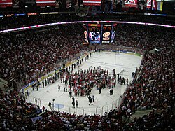
- Sports
- College sports
- Professional sports
- Economy
- Major employers
- Major hospitals, medical centers and medical schools
- Transportation
- Freeways and primary designated routes
- Public transit
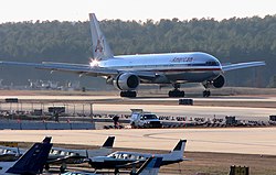
- Air
- Rail
- Shopping
- Super-regional enclosed malls
- Major shopping centers
- Entertainment
- Museums
- Gardens and parks
- Lakes
- Media
- Television
- Radio
- Map of the Triangle
- See also
- References
- External links
Both Raleigh and Durham have their own separate Metropolitan statistical areas (MSA). However, the nine-county region, officially named the Raleigh–Durham–Cary, NC Combined Statistical Area by the Office of Management and Budget, comprises the Raleigh–Cary, Durham–Chapel Hill, and Henderson, NC metropolitan statistical areas. The 2020 census put the combined statistical area (CSA) population at 2,106,463, making it the second-largest combined statistical area in North Carolina, behind the Charlotte area. [5] The Raleigh–Durham television market includes a broader 24-county area which includes Fayetteville, North Carolina, and has a population of 2,726,000 persons. [6] Most of the Triangle is part of North Carolina's first, second, fourth, ninth, and thirteenth congressional districts. [7]
The region is sometimes confused with the Piedmont Triad, which is a North Carolina region adjacent to and directly west of the Triangle comprising Greensboro, Winston-Salem, and High Point, among other cities. Both the Research Triangle and the Piedmont Triad form part of the Piedmont Crescent, an urbanized region of the state that includes the city of Charlotte.