 Roods Creek Landing Recreation Area, location of the Roods Creek Mounds. | |
 Shown within Georgia  Roods Landing site (the United States) | |
| Location | Omaha, Georgia, |
|---|---|
| Region | Stewart County, Georgia |
| Coordinates | 32°1′28.02″N85°2′39.98″W / 32.0244500°N 85.0444389°W |
| History | |
| Cultures | Middle Woodland, South Appalachian Mississippian culture |
| Architecture | |
| Architectural styles | platform mound |
| Architectural details | Number of temples: |
Roods Landing Site | |
| Area | 100 acres (40.5 ha) |
| NRHP reference No. | 75000609 [1] |
| Added to NRHP | August 19, 1975 |
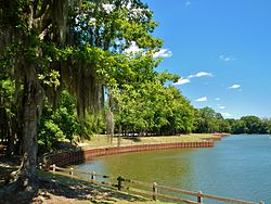
The Roods Landing Site or Roods Creek Mounds (9SW1) is an archaeological site located south of Omaha, Stewart County, Georgia, United States at the confluence of Rood Creek and the Chattahoochee River. It is a Middle Woodland / Mississippian period Pre-Columbian complex of earthen mounds. It was entered on the National Register of Historic Places on August 19, 1975. [1]