Bay Shore | |||||||||||||
|---|---|---|---|---|---|---|---|---|---|---|---|---|---|
 Bay Shore station, looking towards the pedestrian bridge in 2012 | |||||||||||||
| General information | |||||||||||||
| Location | Railroad Plaza & Park Avenue Bay Shore, New York | ||||||||||||
| Coordinates | 40°43′30″N73°15′11″W / 40.72505°N 73.253057°W | ||||||||||||
| Owned by | Long Island Rail Road | ||||||||||||
| Platforms | 2 side platforms | ||||||||||||
| Tracks | 2 | ||||||||||||
| Connections | |||||||||||||
| Construction | |||||||||||||
| Parking | Yes (paid) | ||||||||||||
| Bicycle facilities | Yes | ||||||||||||
| Accessible | yes | ||||||||||||
| Other information | |||||||||||||
| Fare zone | 10 | ||||||||||||
| History | |||||||||||||
| Opened | May 20, 1868 (SSRRLI) | ||||||||||||
| Rebuilt | 1882, 1912 | ||||||||||||
| Previous names | Pentaquit (May–July 1868) [1] | ||||||||||||
| Passengers | |||||||||||||
| 2012—2014 | 1,431 [2] | ||||||||||||
| Rank | 63 of 125 | ||||||||||||
| Services | |||||||||||||
| |||||||||||||
| |||||||||||||
| |||||||||||||

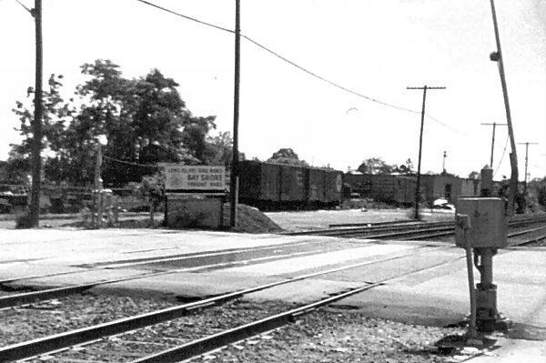
Bay Shore (signed as Bay Shore Fire Island Ferries) is a major railroad station on the Montauk Branch of the Long Island Rail Road, located on Park Avenue and Oak Street in Bay Shore, New York, to the north of Union Boulevard (CR 50) and west of Fourth Avenue. Ferries to Fire Island board from a nearby port located to the station's south. [3]