St. James | |||||||||||||
|---|---|---|---|---|---|---|---|---|---|---|---|---|---|
 St. James Long Island Rail Road station | |||||||||||||
| General information | |||||||||||||
| Location | Lake Avenue and Railroad Avenue St. James, New York | ||||||||||||
| Owned by | Long Island Rail Road | ||||||||||||
| Platforms | 1 side platform | ||||||||||||
| Tracks | 1 | ||||||||||||
| Connections | NYS Bike Route 25 | ||||||||||||
| Construction | |||||||||||||
| Parking | Yes; Free and Town of Smithtown permits | ||||||||||||
| Bicycle facilities | Yes | ||||||||||||
| Accessible | Yes | ||||||||||||
| Other information | |||||||||||||
| Fare zone | 10 | ||||||||||||
| History | |||||||||||||
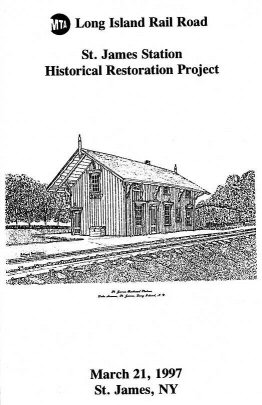
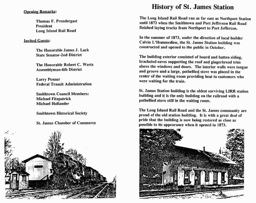
| Opened | 1873 [1] | ||||||||||||
| Rebuilt | 1974, 1997 | ||||||||||||
| Passengers | |||||||||||||
| 2006 | 588 [2] | ||||||||||||
| Services | |||||||||||||
| |||||||||||||
| |||||||||||||
Saint James Railroad Station | |||||||||||||
| Location | Saint James, New York, USA | ||||||||||||
| Coordinates | 40°52′59.78″N73°9′29.35″W / 40.8832722°N 73.1581528°W | ||||||||||||
| Built | 1873 | ||||||||||||
| Architect | Calvin L'Hommedieu | ||||||||||||
| Part of | Saint James Historic District (ID73001275) | ||||||||||||
| MPS | Saint James District MRA | ||||||||||||
| Added to NRHP | July 20, 1973 [3] | ||||||||||||
| |||||||||||||

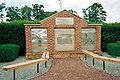
St. James is a station and historic landmark on the Port Jefferson Branch of the Long Island Rail Road. The station is located on Lake Avenue and Railroad Avenue, just south of New York State Route 25A in St. James, Suffolk County, New York.


