Ellicott, Colorado | |
|---|---|
 Ellicott Grocery in Ellicott. | |
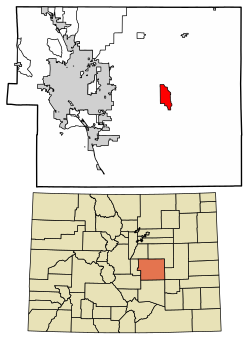 Location of the Ellicott CDP in El Paso County, Colorado | |
 Ellicott Location of the Ellicott CDP, Colorado.  Ellicott Ellicott (Colorado) | |
| Coordinates: 38°50′18″N104°23′13″W / 38.8383°N 104.3869°W [1] | |
| Country | United States |
| State | Colorado |
| County | El Paso [2] |
| Government | |
| • Type | unincorporated community |
| • Body | El Paso County [2] |
| Area | |
• Total | 10.922 sq mi (28.287 km2) |
| • Land | 10.922 sq mi (28.287 km2) |
| • Water | 0 sq mi (0.000 km2) |
| Elevation | 6,021 ft (1,835 m) |
| Population | |
• Total | 1,248 |
| • Density | 114.3/sq mi (44.12/km2) |
| Time zone | UTC−07:00 (MST) |
| • Summer (DST) | UTC−06:00 (MDT) |
| ZIP code [5] | Calhan 80808 |
| Area code | 719 |
| GNIS place ID | 193564 |
| GNIS town ID | 2629987 |
| FIPS code | 08-24235 |
Ellicott is an unincorporated community and a census-designated place (CDP) located in and governed by El Paso County, Colorado, United States. The CDP is a part of the Colorado Springs, CO Metropolitan Statistical Area. The population of the Ellicott CDP was 1,248 at the United States Census 2020. [4]
