
Greene County is located in the southwestern portion of Ohio. As of the 2020 census, the population was 167,966. Its county seat is Xenia and its largest city is Beavercreek. The county was established on March 24, 1803 and named for General Nathanael Greene, an officer in the Revolutionary War. Greene County is part of the Dayton, OH Metropolitan Statistical Area.

Cedarville is a city in Crawford County, Arkansas, United States. It is part of the Fort Smith, Arkansas-Oklahoma Metropolitan Statistical Area. The population was 1,410 at the 2020 census.

Offerman is a city in Pierce County, Georgia, United States. The population was 441 at the 2010 census. It is part of the Waycross Micropolitan Statistical Area.
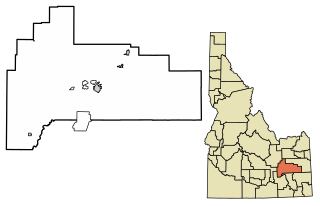
Basalt is a city in Bingham County, Idaho, United States. The population was 394 at the 2010 census.
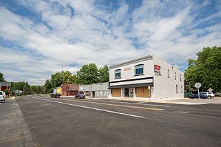
Leo-Cedarville is a town in Cedar Creek Township, Allen County, Indiana, United States. The population was 3,624 at the 2020 census.
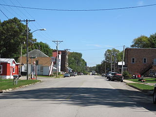
Brandon is a city in Buchanan County, Iowa, United States. The population was 341 at the 2020 census.

Delaware is a city in Delaware County, Iowa, United States. The population was 142 at the time of the 2020 census.

Bancroft is a city in Kossuth County, Iowa, United States. The population was 699 at the time of the 2020 census.
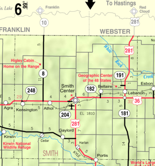
Cedar is a city in Smith County, Kansas, United States. As of the 2020 census, the population of the city was 11.

Crystal is a town in Aroostook County, Maine, United States. The population was 248 at the 2020 census.

Level Park–Oak Park is a census-designated place for statistical purposes in Calhoun County in the U.S. state of Michigan. The CDP population was 3,260 at the 2020 census. The CDP is immediately northwest of the city of Battle Creek and is part of the Battle Creek Metropolitan Statistical Area.

Crystal is a suburban city in Hennepin County, Minnesota, United States that is about 5 miles from Downtown Minneapolis. The population was 23,330 at the 2020 census. Minnesota State Highway 100 and County Road 81 are two of the main routes in the city.
Good Hope Township is a township in Itasca County, Minnesota, United States. The population was 99 at the 2010 census.

Wolverton is a city in Wilkin County, Minnesota, United States. The population was 128 at the 2020 census. It is part of the Wahpeton, ND—MN Micropolitan Statistical Area.

Valley is a city in Douglas County, Nebraska, United States. The population was 3,037 at the 2020 census.

Cedarville is an unincorporated community and census-designated place (CDP) located within Lawrence Township, in Cumberland County, in the U.S. state of New Jersey. It is part of the Vineland-Millville-Bridgeton Primary Metropolitan Statistical Area for statistical purposes. As of the 2020 United States census, the CDP's population was 702.
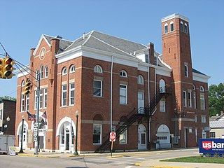
Cedarville is a village in Greene County, Ohio, United States. The village is within the Dayton Metropolitan Statistical Area. The population was 4,257 at the 2020 census.
Loyalhanna is a census-designated place (CDP) in Westmoreland County, Pennsylvania, United States. The population was 3,415 at the 2000 census, at which time it was listed as McChesneytown-Loyalhanna, before just becoming the CDP of Loyalhanna for the 2010 census. As of the 2010 census the population was 3,428 residents.

Dungannon is a town in Scott County, Virginia. The population was 257 at the 2020 census. It was named after the town of Dungannon in County Tyrone, Northern Ireland.
Northwest Koochiching is an unorganized territory in Koochiching County, Minnesota, United States. The population was 541 at the 2000 census.


