The following outline is provided as an overview of and topical guide to Karnataka:
Contents
- General reference
- Names
- Rankings (amongst India's states)
- Geography
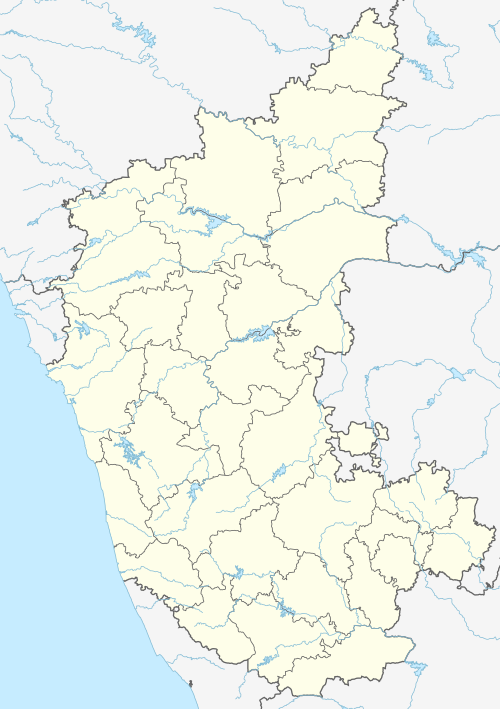
- Location of Karnataka
- East flowing rivers
- West flowing rivers
- Reservoirs
- Lakes
- Administrative divisions
- Districts of Karnataka
- Taluks of Karnataka
- Demographics
- Government and politics of Karnataka
- Union government in Karnataka
- Branches of the government of Karnataka
- Law and order in Karnataka
- Human rights
- History
- Culture
- Symbols of Karnataka
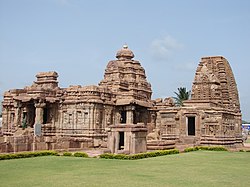
- Tourism
- North Karnataka
- Coastal Karnataka
- South Karnataka
- See also
- References
- External links
Karnataka is the 6th biggest, 8th most populous, 13th highest and 16th most literate state of the 28 states of the democratic Republic of India. Karnataka is ranked 3rd in the country in tax revenue and 7th in the country in GDP. Karnataka is at 8th position in life expectancy and 11th in female-to-male sex ratio among the states in India. Karnataka is at 7th most media exposed states in India.