 | |
| Area | 2,728,827 km2 (1,053,606 sq mi) |
|---|---|
| Population (2022) | 224,017,764 |
| Countries | |
| Dependencies | 18
|
| GDP | $1.416 229 trillion (PPP, 2005 est.) |
| Major languages | Spanish, English, French, Mayan, Nahuatl, Antillean Creole, Haitian Creole, and others |
| Time zones | UTC−04:00 (Barbados) to UTC−08:00 (Baja California) |
| Largest cities | |
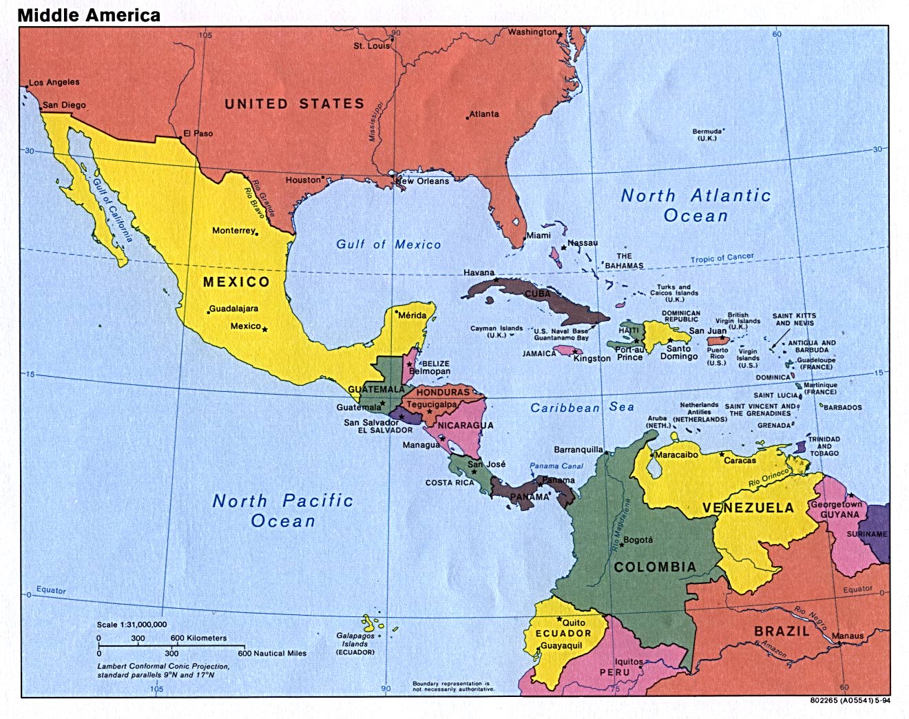
Middle America is a subregion in the Northern Hemisphere tropics of the Americas. It usually includes Mexico, the seven countries of Central America, and the 13 island countries and 18 territories of the Caribbean. Together with Northern America, they form the continent of North America.
Contents
- Geography
- Countries and territories
- Use of the term Middle America as synonym
- See also
- Notes
- References
- Citations
- Sources
Colombia and Venezuela of Caribbean South America are sometimes included in this subregion. The Caribbean is occasionally excluded from this subregion while Bermuda and The Guianas are infrequently included. [1] [2] [3]
